SNOWFLAKE PATHWAYS
A HISTORY IN PICTURES
![]()
2005: Fire Control
In mid-March, I noticed smoke rising from the green belt. I rushed to the spot, only to find a couple of dozen firemen there lighting fires. Not what I was expecting to see. They explained they were contracted to clear the area to slow down the spread of potential wildfires, and therefore make it easier to control and/or extinguish them. The following photographs were taken on March 16th & 17th, 2005.
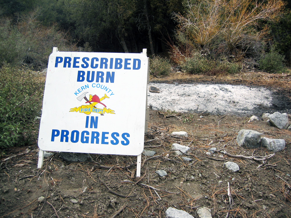
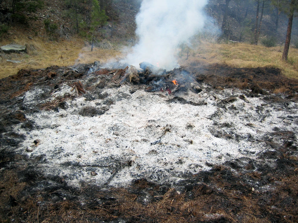
(115) ^ ^ ^ ^ An official prescribed burn.
(116) ^ ^ ^ ^ The lower branches of trees were trimmed and gathered up, especially any dead branches.
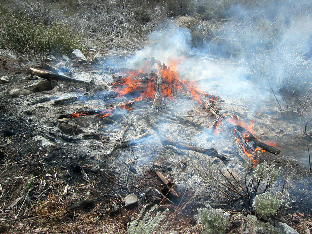
(117) ^ ^ ^ ^ Potential fuel on the ground was gathered into piles a burned.
(118) ^ ^ ^ ^ This is a pile of debris the neighbors had made from trimming their lots. The firemen agreed to include it in their burn program.
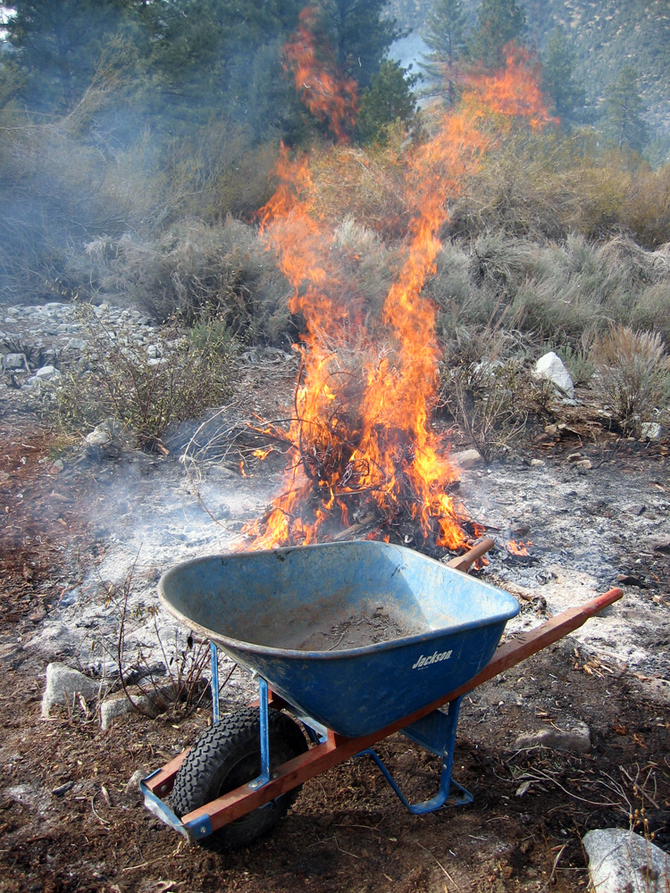
(119) ^ ^ ^ ^ I stoked the burning pile regularly to reduce everything to ashes as quickly as possible.
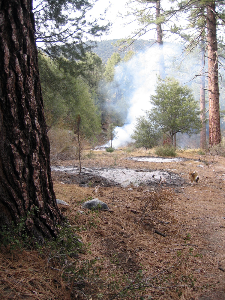
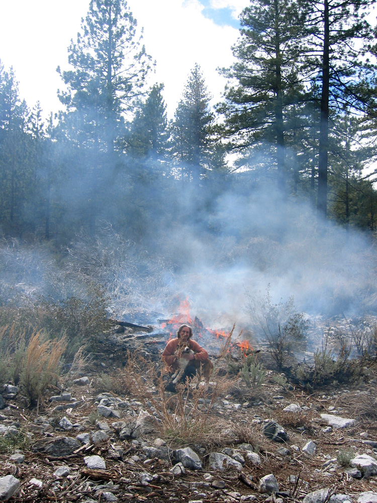
(120) ^ ^ ^ ^ After the fire crew had left for the day, I kept a watchful eye on things.
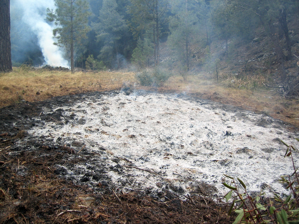
(121) ^ ^ ^ ^ The pile in the background smoldered for many days.
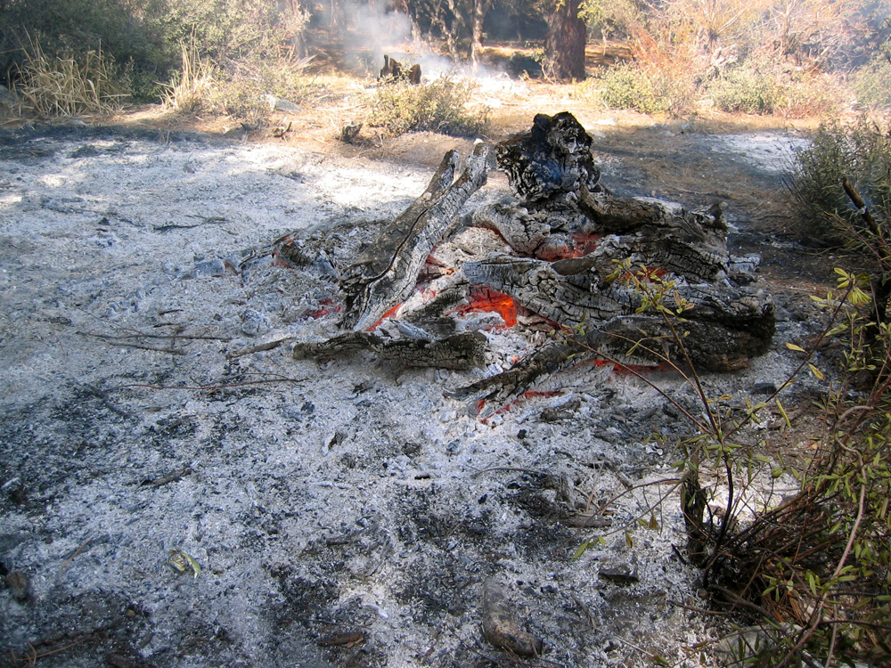
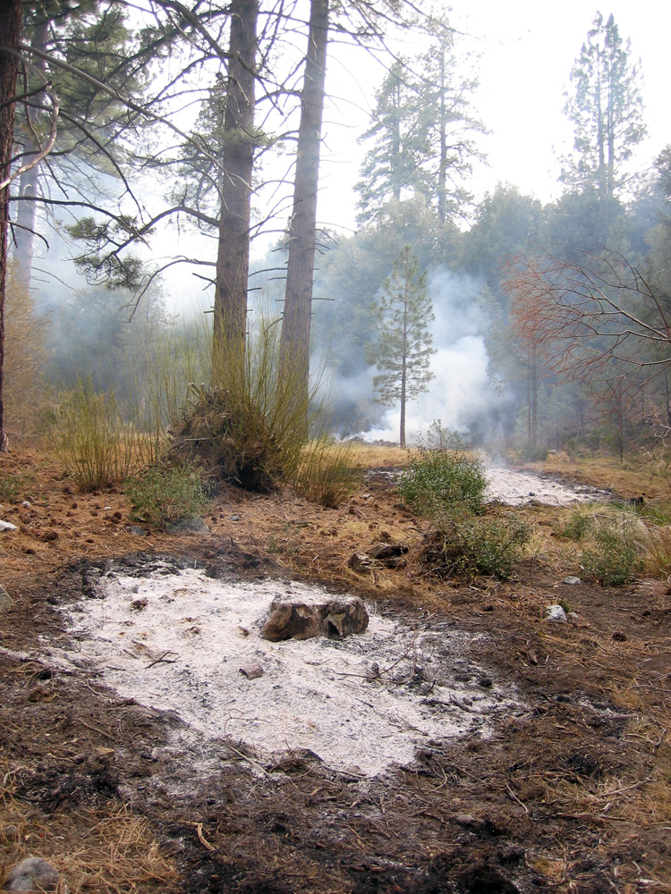
(122) ^ ^ ^ ^ This burn almost complete and the burn pile starting to cool.
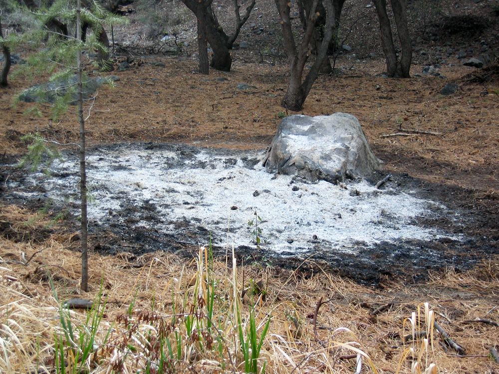
(123) ^ ^ ^ ^ Dead and decaying roots made this pile burn considerably longer than the others.
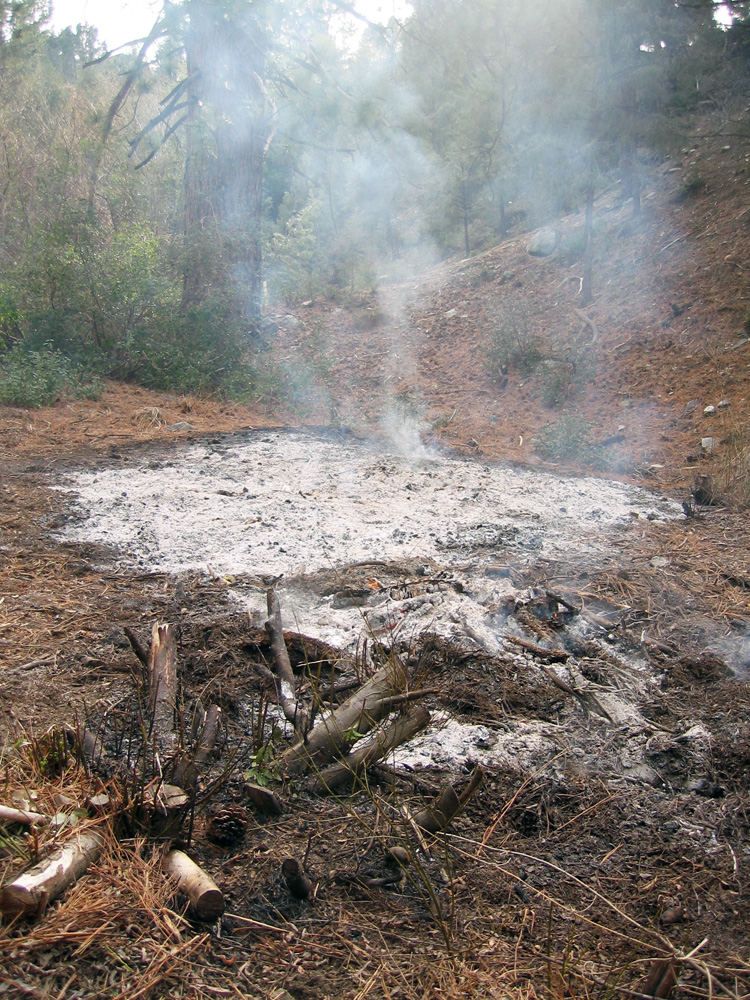
(124) ^ ^ ^ ^ The pile in the background smoldered underground for about a week. It was eventually extinguished.
(125) ^ ^ ^ ^ This is the desired result.
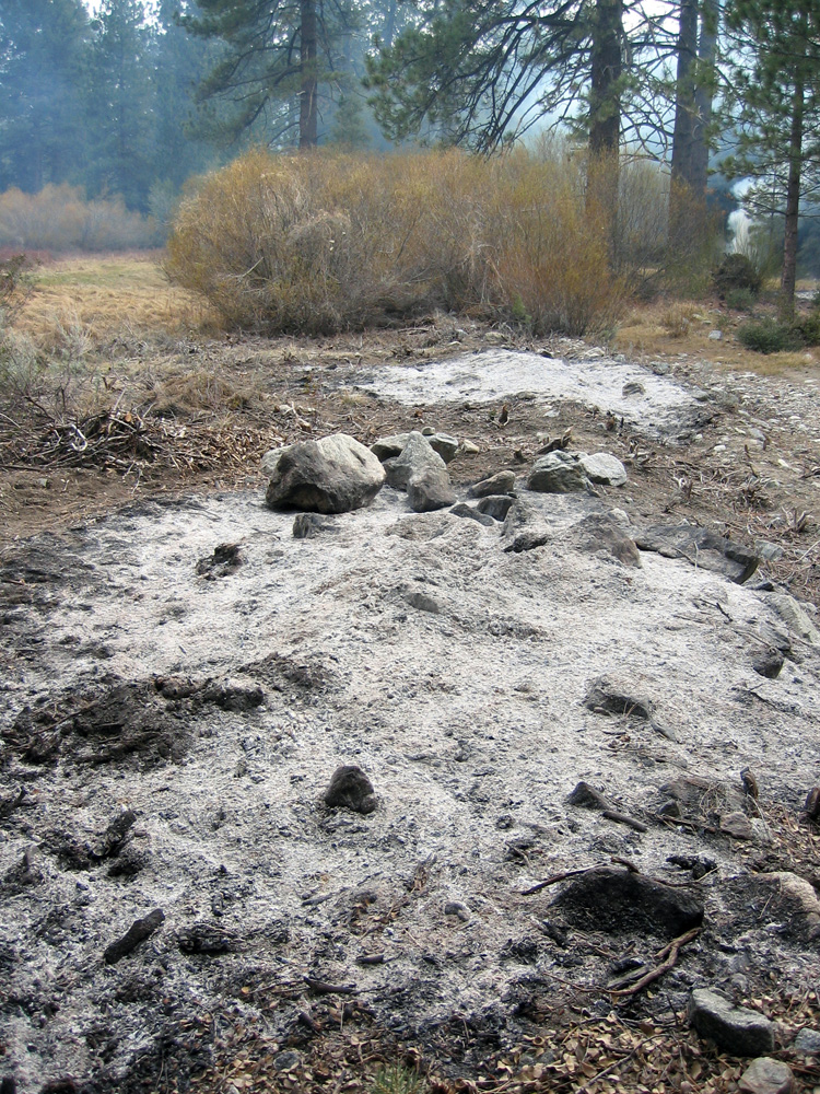
(126) ^ ^ ^ ^ After the ashes cool, the area becomes safe.
![]()