SNOWFLAKE PATHWAYS
A HISTORY IN PICTURES
![]()
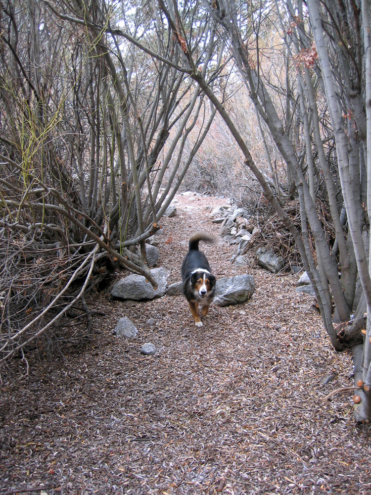
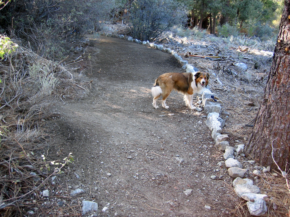
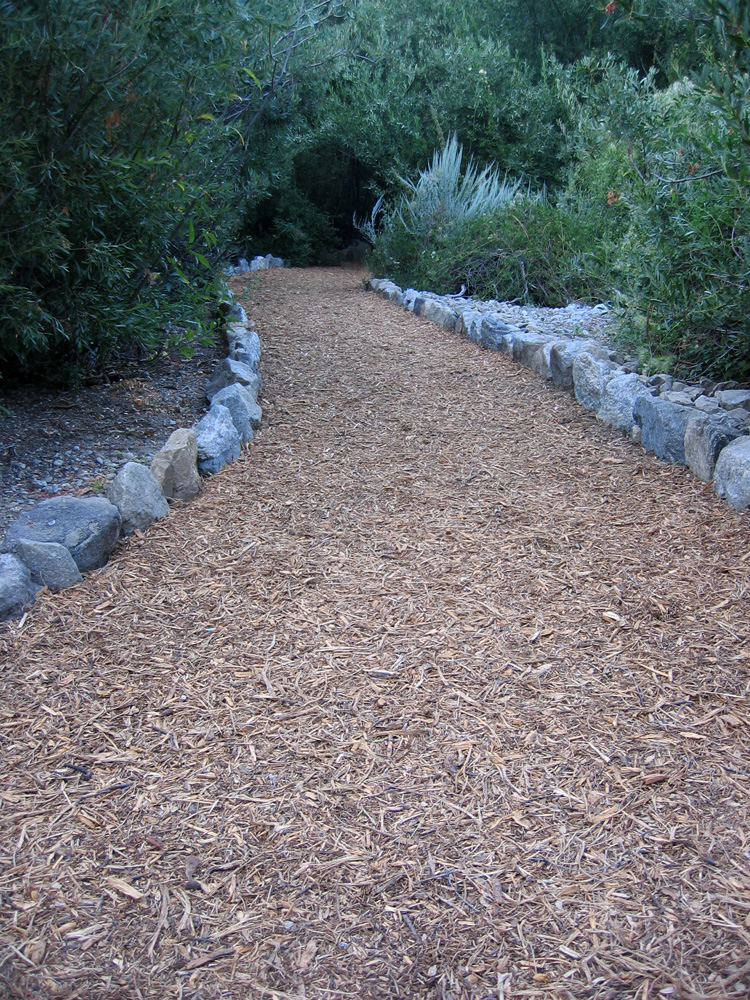
2005: Main Pathway.
2005 turned out to be a "wet year". This is when the water table rises in the wetlands area, and there is a lot more water flowing in general. Some of it emanating from springs at slightly higher elevations than in the previous drier years. The "05 wet year" meant the original trail crossing the green belt became flooded or waterlogged in many places. Despite efforts to keep the Wetlands Trail open, I decided it was a good idea to start building a new pathway higher up that is much more likely to remain dry each year.
(55) ^ ^ ^ ^ The basic route had already been cleared the year before in late 2004. This vantage point is looking west from where the Wedding Bridge would eventually be located in January, the following year.
(56) ^ ^ ^ ^ Continuing on the proposed route still heading west.
(57) ^ ^ ^ ^ Still further west.
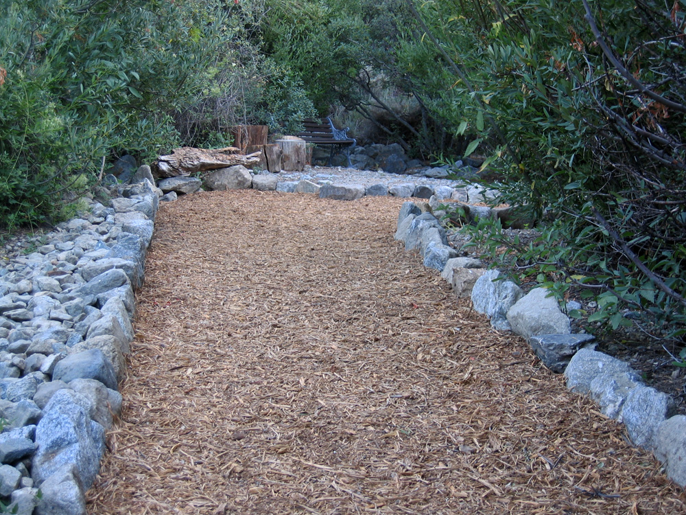
(58) ^ ^ ^ ^ I started building the new pathway about half way across the green belt, and progressively worked back towards Alpen Court.
(59) ^ ^ ^ ^ The first section under construction (with Max's help).
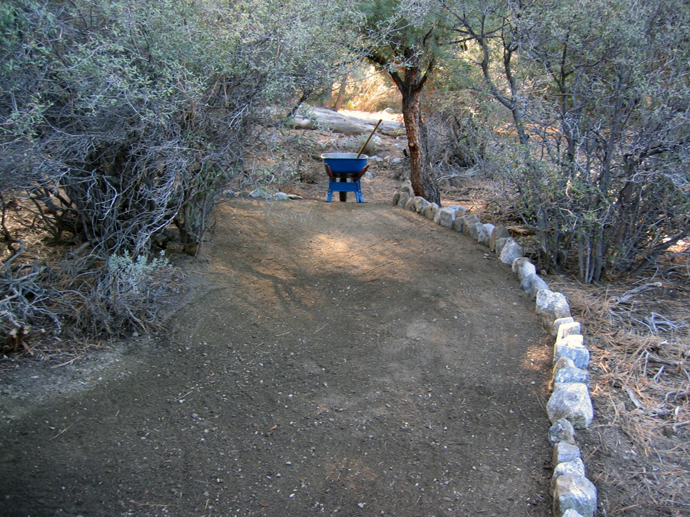
(60) ^ ^ ^ ^ Ready for a layer of wood chips.
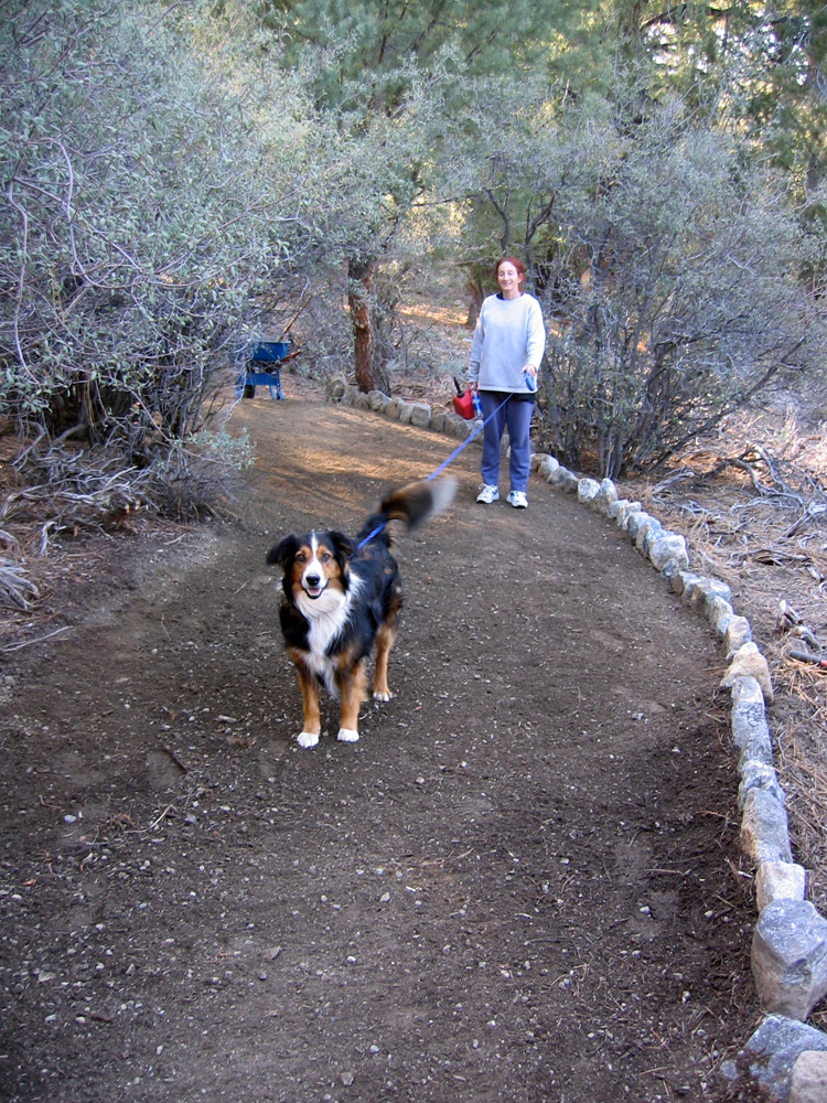
(61) ^ ^ ^ ^ Deanna and Teddy sign off on the progress so far.
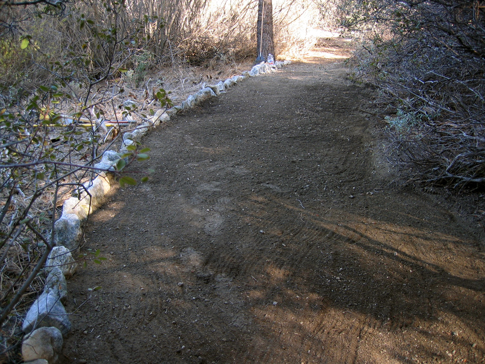
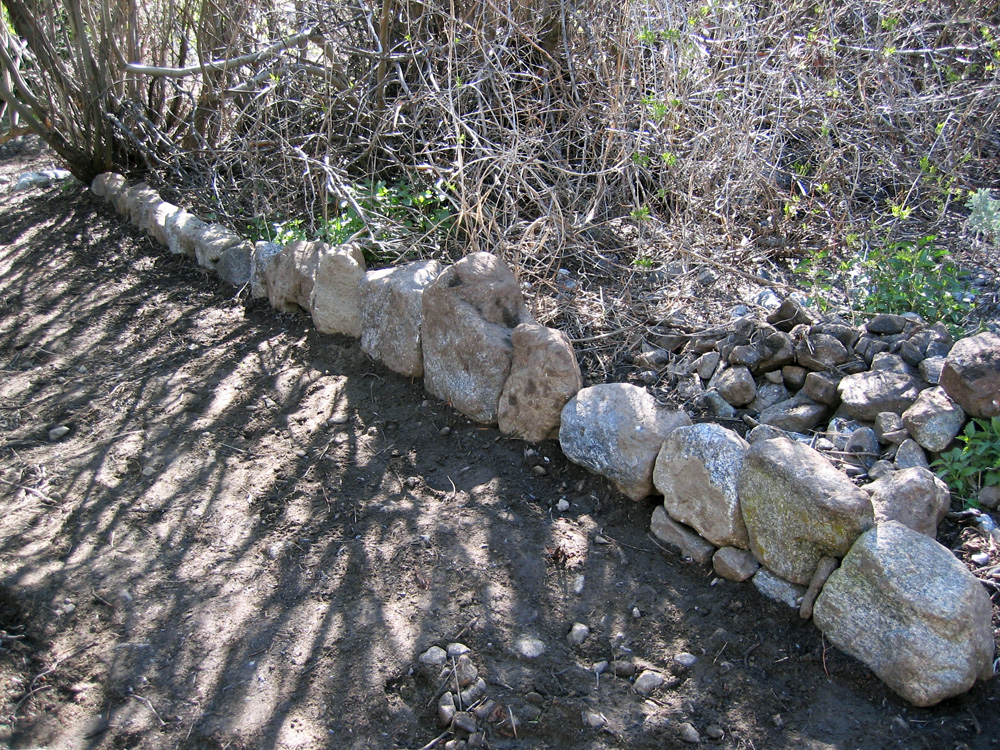
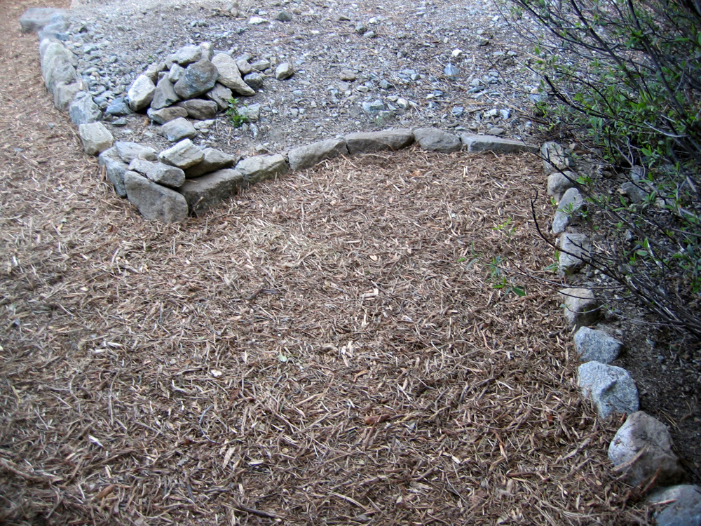
(62) ^ ^ ^ ^ This first section after it was wood chipped. In 2006, a rock border was added to the left-hand side of the pathway as well.
(63) ^ ^ ^ ^ The next section wood chipped.
(64) ^ ^ ^ ^ A closer view.
(65) ^ ^ ^ ^ Working on the next section.

(66) ^ ^ ^ ^ A deep washout in this old creek bed had to be filled in with rocks and gravel.

(67) ^ ^ ^ ^ What will eventually become a 4-way intersection seen here under construction.
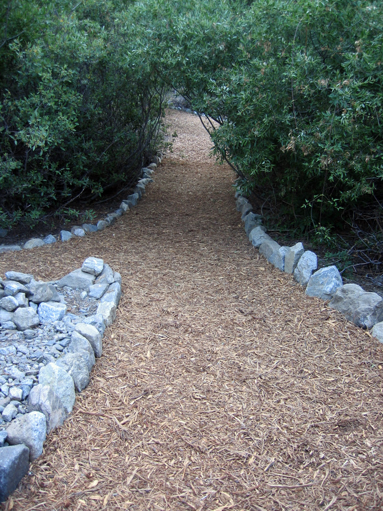
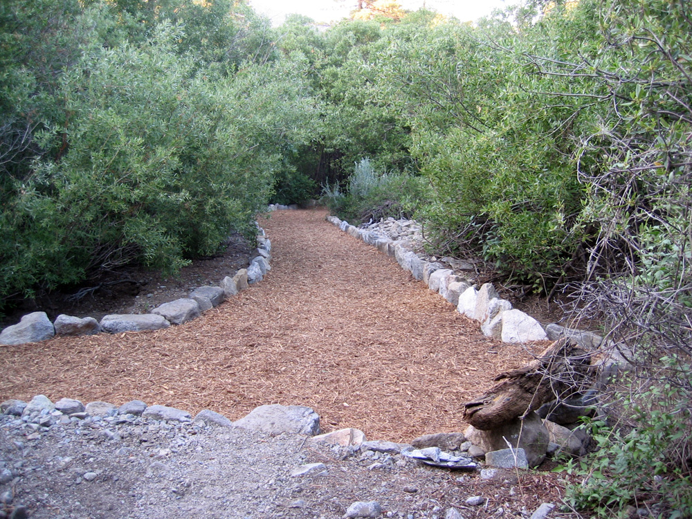
(68) ^ ^ ^ ^ Looking west from the intersection after wood chips were added.
(69) ^ ^ ^ ^ An exit.
(70) ^ ^ ^ ^ The intersection finished with wood chips. At the end of this section of pathway (in the background) was the temporary log bridge seen in the next photo.
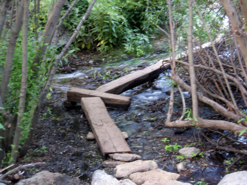
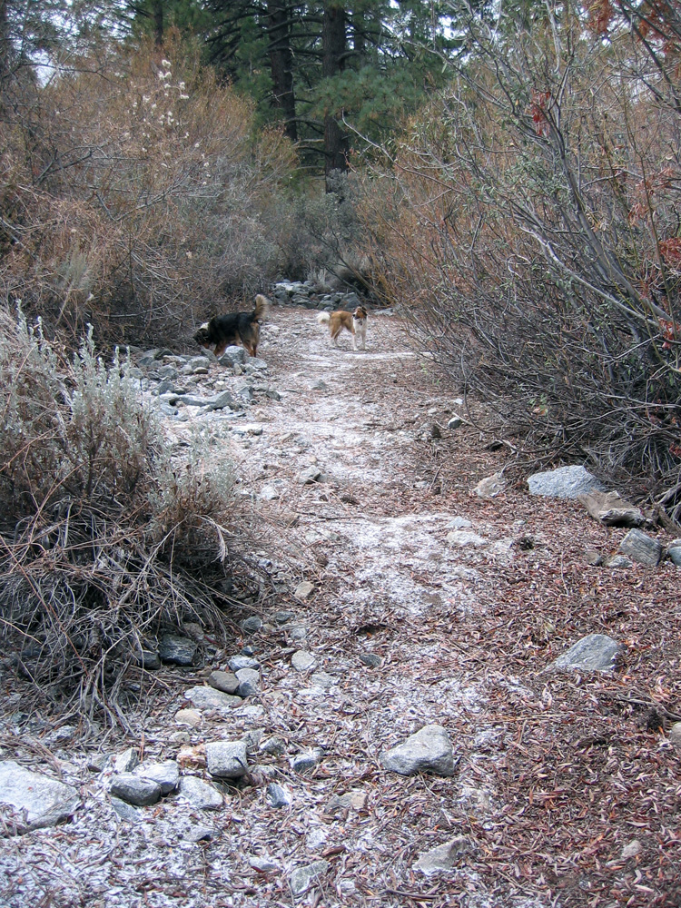
(71) ^ ^ ^ ^ The temporary log bridge. Note the volume of water flowing that year in 2005.
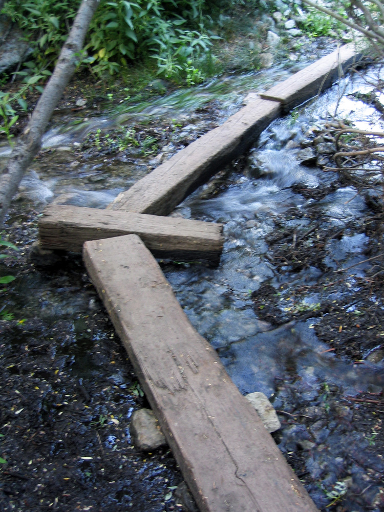
(72) ^ ^ ^ ^ This temporary bridge was eventually replaced with the Wedding Bridge in January, 2006.
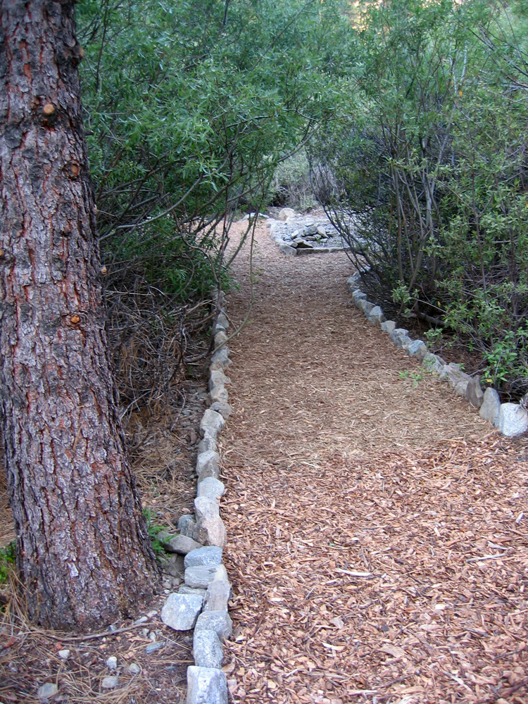
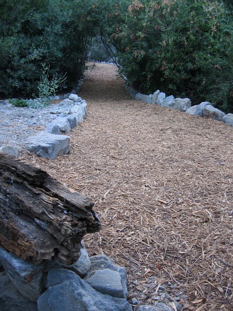
(73) ^ ^ ^ ^ The pathway looking east leading to the bridge crossing and then onto Alpen Court.
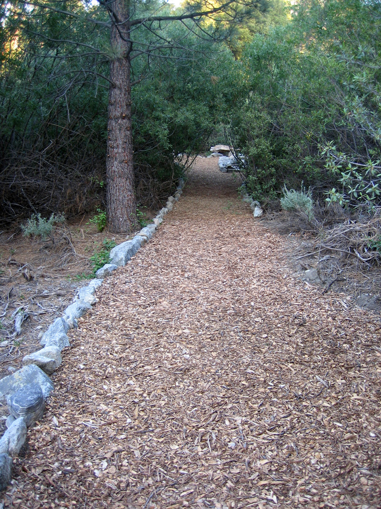
(74) ^ ^ ^ ^ Looking west. The pathway swings right here and enters a tunnel of overhanging branches.
(75) ^ ^ ^ ^ A connecting pathway will later be built to join into this intersection in January, 2006. A rudimentary trail already exists (see top left).
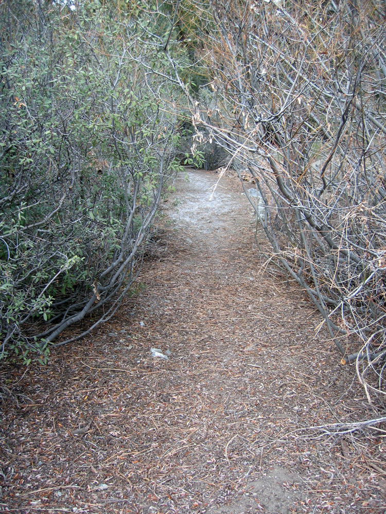
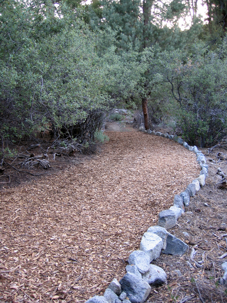
(76) ^ ^ ^ ^ The pathway continues through this tunnel of branches and heads towards the Enchanted Forest.
![]()