SNOWFLAKE PATHWAYS
A HISTORY IN PICTURES
![]()
2010: Rebuilding
(250) ^ ^ ^ ^ I already built this structure four years earlier in June, 2006. It was vandalized by a neighbor who has now left the area after foreclosing on their house in 2009. Poetic justice perhaps. So I'm rebuilding everything and improving on the original design in the process.
(251) ^ ^ ^ ^ This is the view as you approach the area from the Snowflake house.
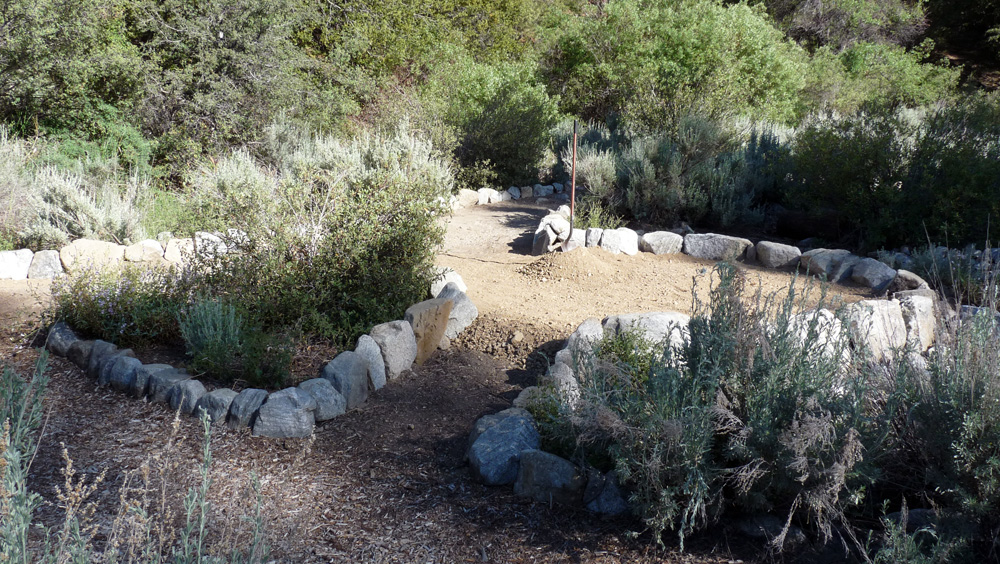
(252) ^ ^ ^ ^ It's a 3-way intersection. Its the same place that immovable boulder was buried beneath the pathway in September, 2005 (on the right side in this photo).
(253) ^ ^ ^ ^ Looking back the other way. About 40 hours of work had gone into this project at this point. The same amount of work as fours years earlier when it was vandalized without warning. Given the opportunity to discuss this, I'm sure we could have reached a compromise solution satisfactory to both parties. But unfortunately my old neighbor's brazen approach was destroy first, talk later.
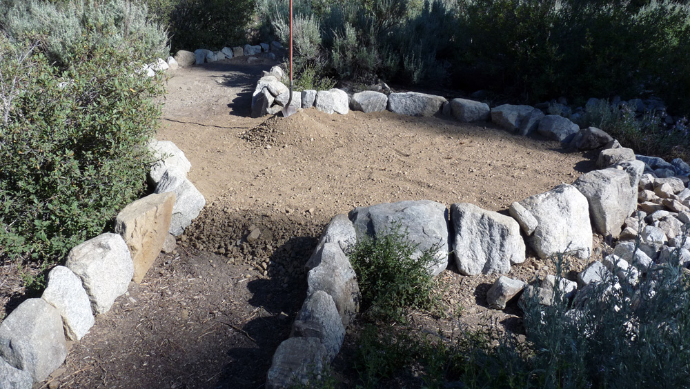
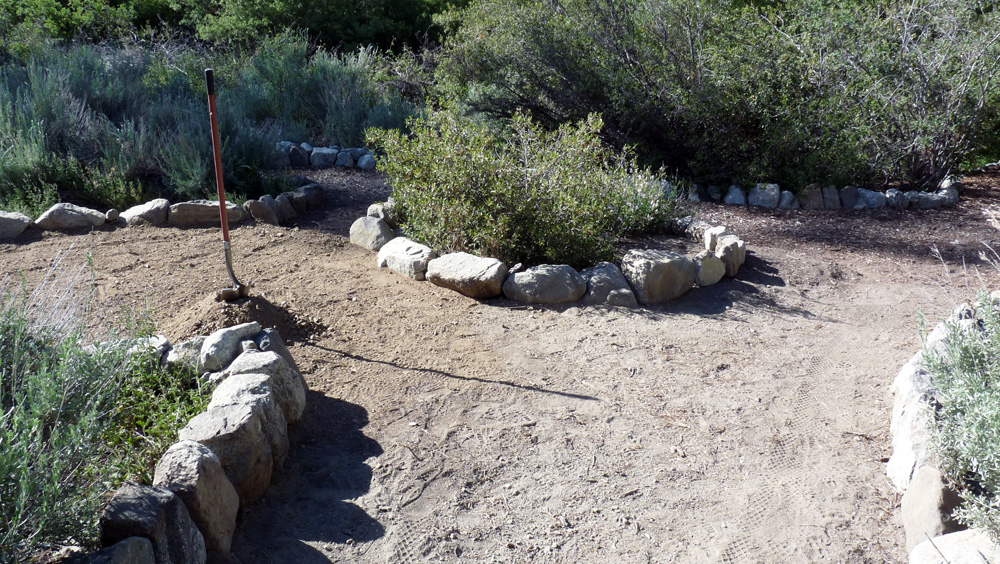
(254) ^ ^ ^ ^ A small picnic table will be installed on this raised platform area. Great views of San Emigdio Mountain from here. A good winter spot as it gets plenty of sun.
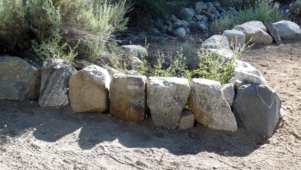
(255) ^ ^ ^ ^ A closer view of some of the rock work.
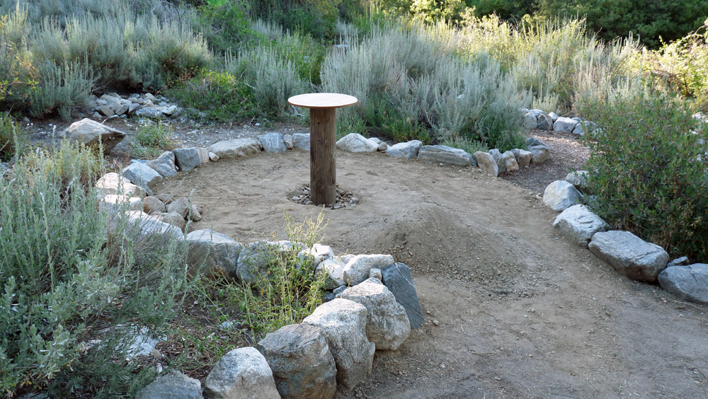
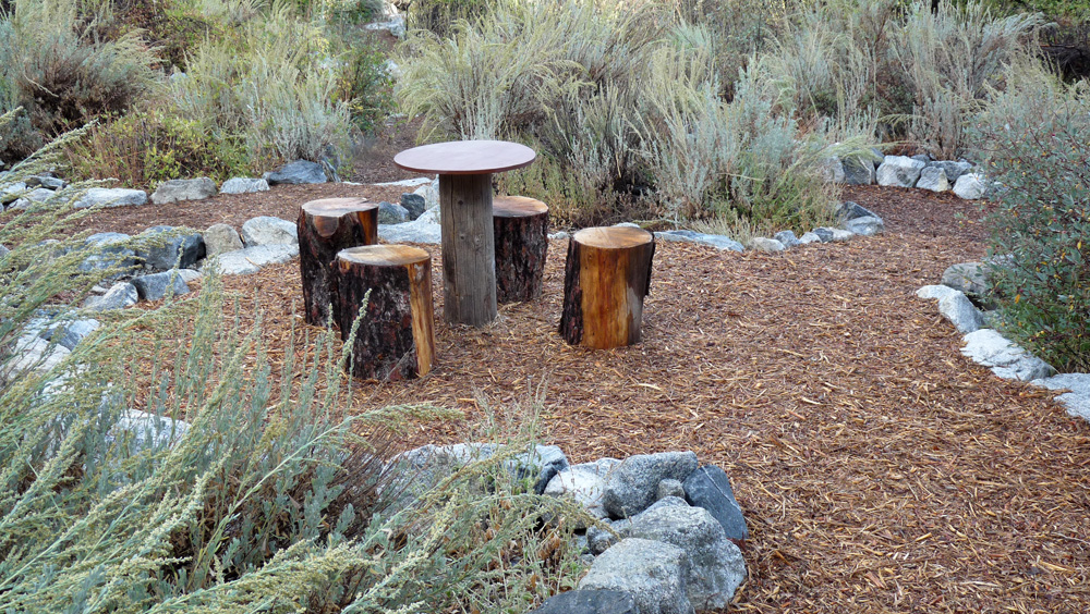
(256) ^ ^ ^ ^ The new table in place. The area is ready for wood chips.
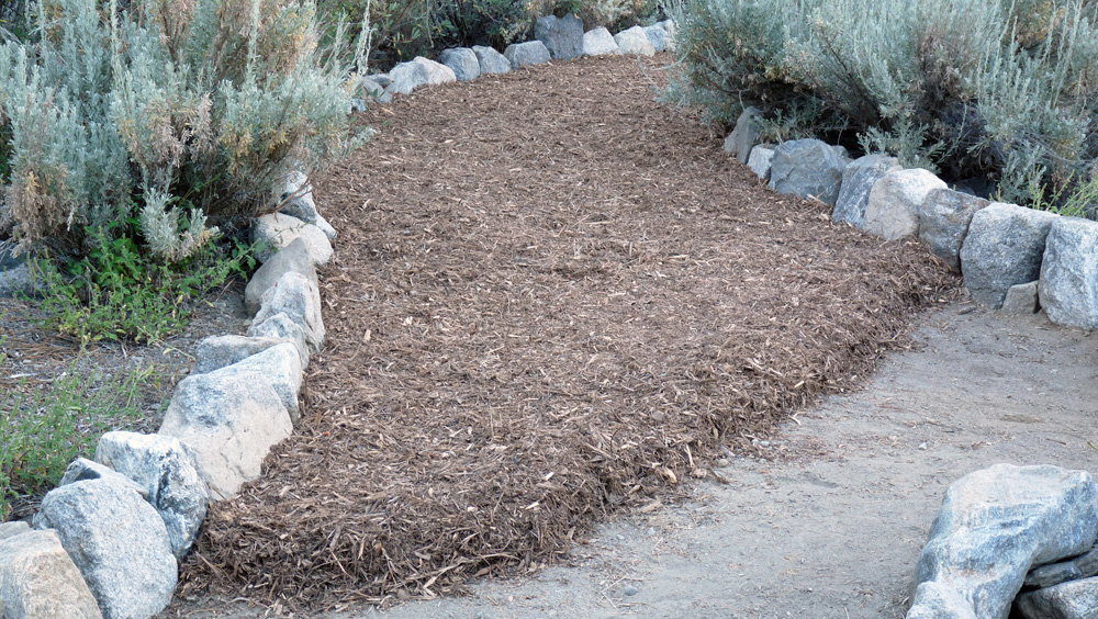
(257) ^ ^ ^ ^ The first trailer load of wood chips spread out on the new pathway. A trailer load yields about 15 or 16 individual wheelbarrow loads.
(258) ^ ^ ^ ^ Part way through spreading the second trailer load of wood chips.
(259a) ^ ^ ^ ^ Wood chips completed on the raised platform area.
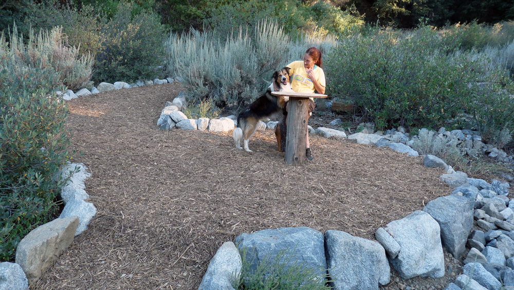
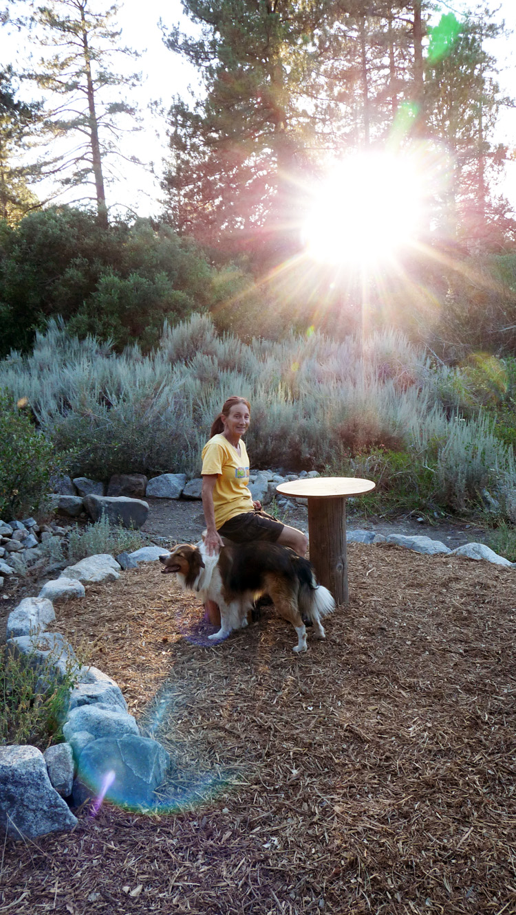
(259b) ^ ^ ^ ^ Max seems to like it.
(259c) ^ ^ ^ ^ A new sign pointing to the Victory Table area.
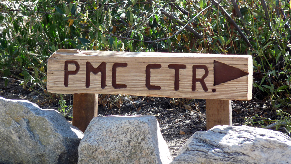
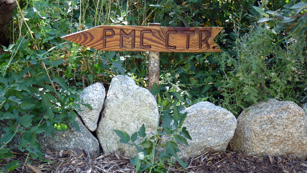
(259d) ^ ^ ^ ^ At the junction, this second sign points you in the direction of the Pine Mountain Club Village Center.
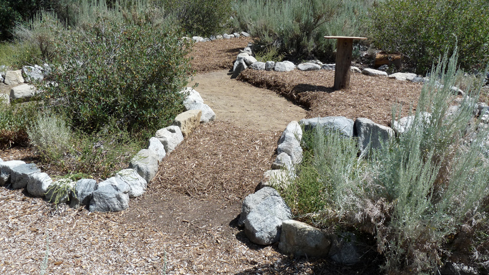
(259e) ^ ^ ^ ^ The finished result.
(259f) ^ ^ ^ ^ It took four trailer loads of wood chips to cover the whole area.
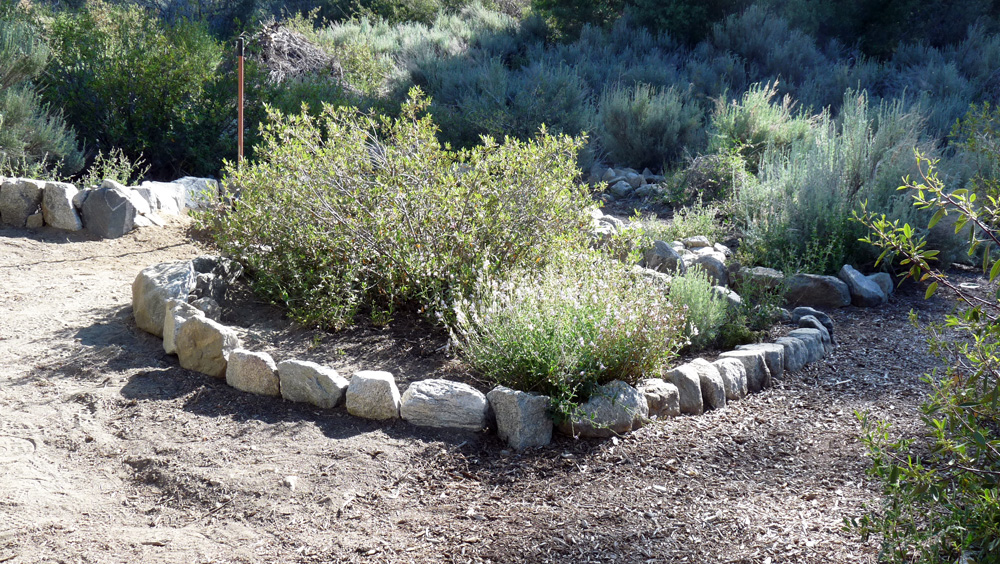
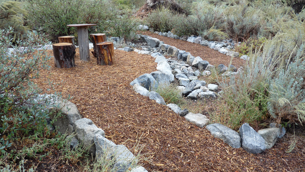
(259g) ^ ^ ^ ^ The pathways are effectively two circles, one inside the other. They share a common side, which is the original pathway crossing this area (it can be seen in background).
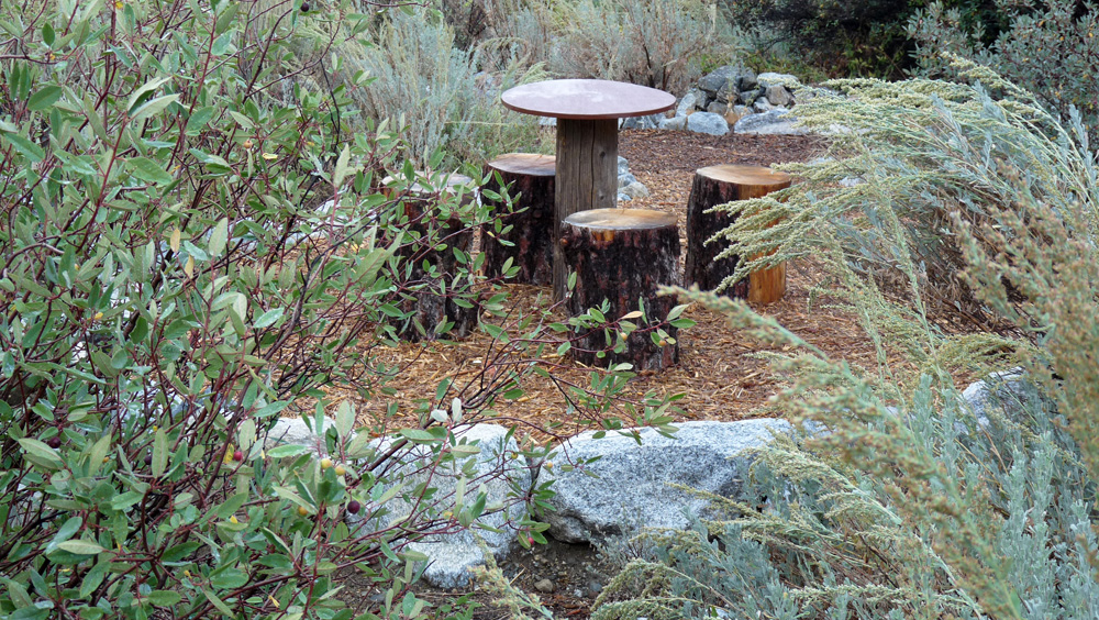
(259h) ^ ^ ^ ^ Another view of the new table and stump stools.
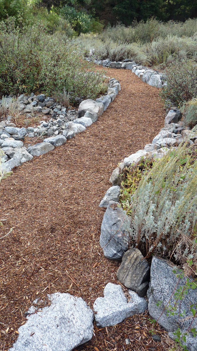
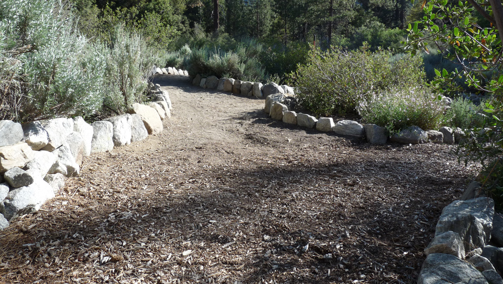
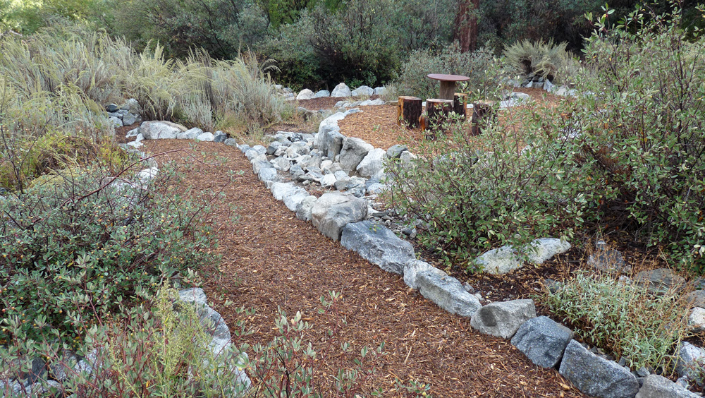
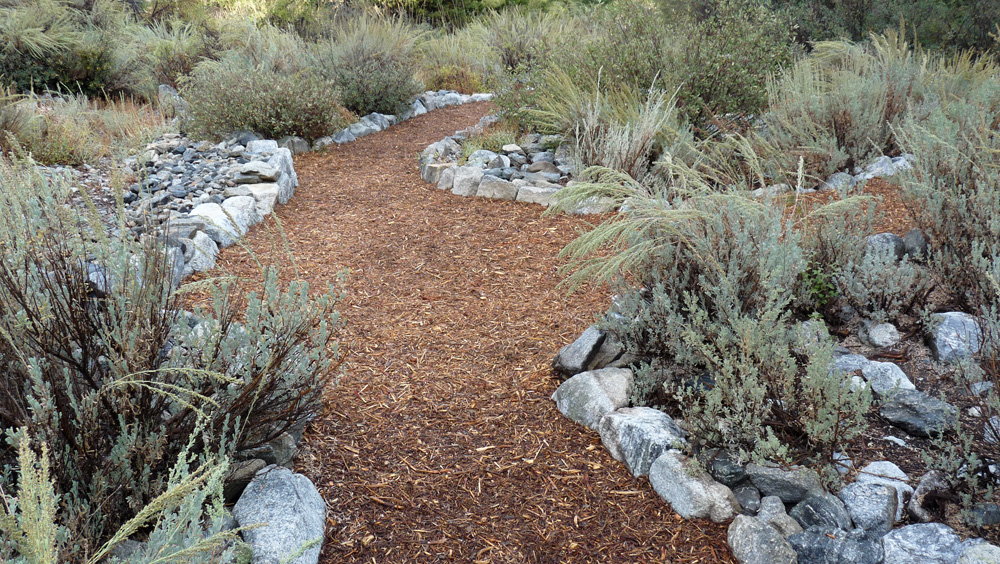
(259i) ^ ^ ^ ^ The larger outer circle (looking south).
(259j) ^ ^ ^ ^ Outer circle pathway (again looking south).
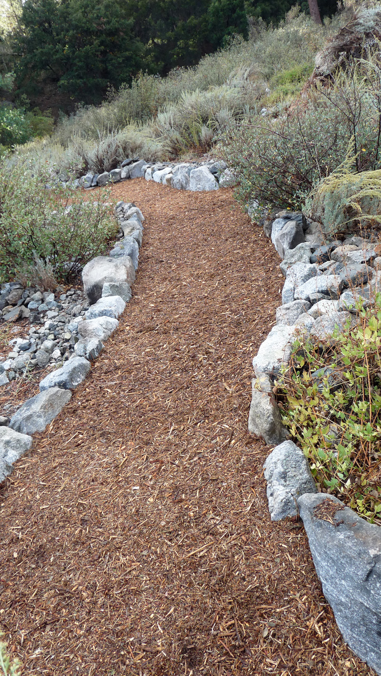
(259k) ^ ^ ^ ^ The outer circle pathway turns left, and also continues southwards up the wash.
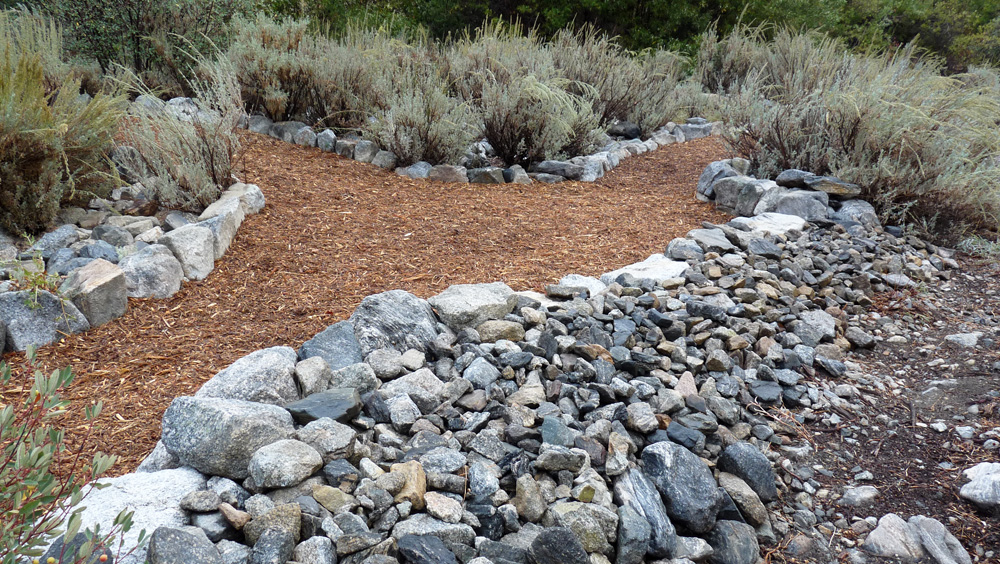
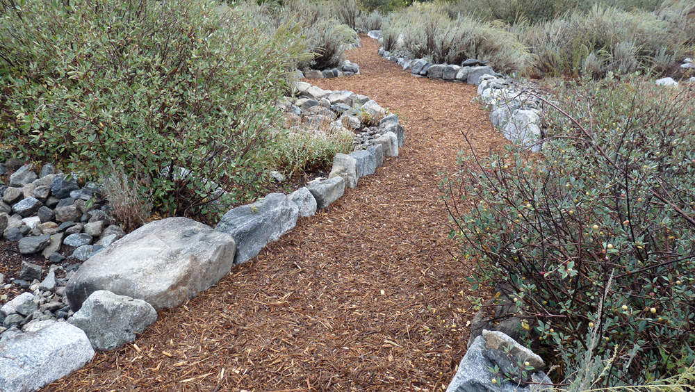
(259l) ^ ^ ^ ^ The rock wall in the foreground is designed to prevent flooding. The idea is to keep the creek (on the right) within its banks if and when it flows. It only flows very occasionally.
(259m) ^ ^ ^ ^ Looking back the other way (north) at a junction. The outer circle sweeps around to the right.
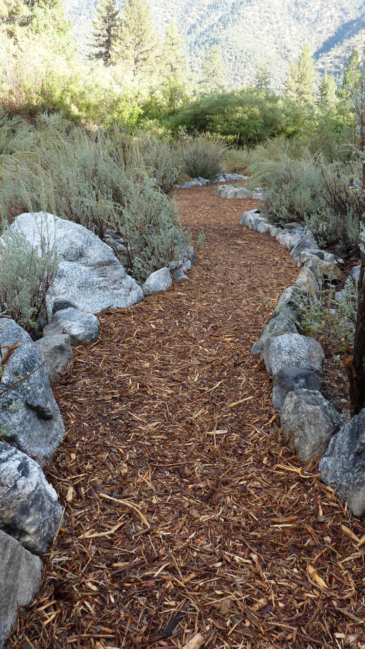
(259n) ^ ^ ^ ^ The approach to the Victory table area looking north. San Emigdio Mountain is in the background.
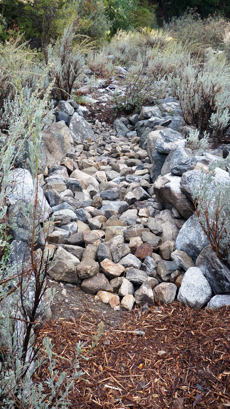
(259o) ^ ^ ^ ^ A causeway under construction. This raises the level of the path about 2 feet to keep it on the same level as it crosses over a small depression. This pathway is heading south up the wash.
![]()