SNOWFLAKE PATHWAYS
A HISTORY IN PICTURES
![]()
2011: New Wetlands Causeway
2011 proved to be a very "wet year" in the Greenbelt in the cycle of wet and dry years. 2005 was also a very "wet year" (similar to 2011).
During the summer of 2011, much of the Wetlands trail experienced severe flooding from underground springs along its route. The project to build a 30-foot causeway over the wettest area took about a month to complete in July, 2011. The hardest part of the operation was clearing the area and hauling away all the debris (several trailer loads worth).
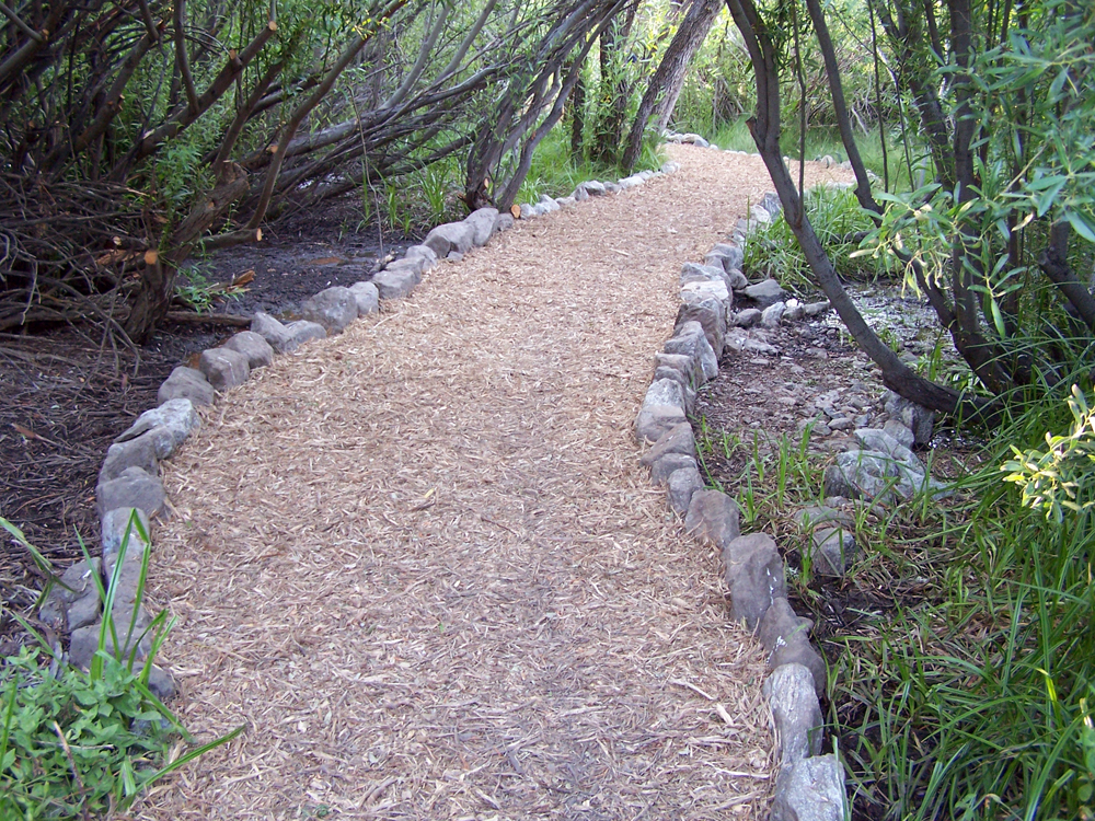
(1) ^ ^ ^ ^ The new causeway seen here heading west (going towards the PMC Village). There are two full trailer loads of slash (wood chips) spread out on top (about 35 wheel barrow loads). You can see where the old path veered off to the right. So this new pathway straightens out an "S" curve in the original trail and is therefore much more direct.
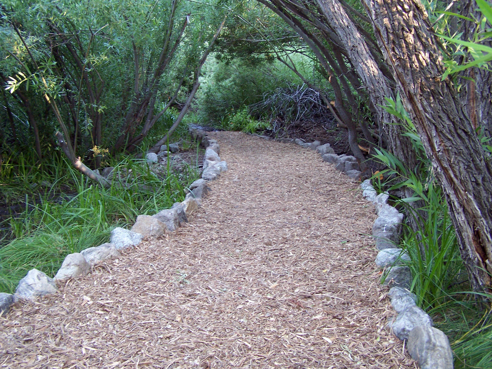
(2) ^ ^ ^ ^ Looking back the other way. The base of this causeway is filled with layers of rocks, larger rocks on the bottom covered with smaller rocks on top. This allows any ground water to percolate through underneath keeping the walking surface completely dry on top.
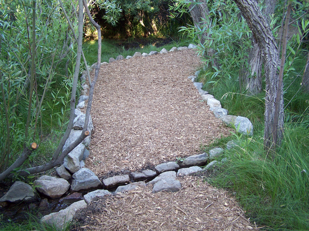
(3) ^ ^ ^ ^ During the summer months, quite a lot of water flowed under this causeway daily (probably thousands of gallons).
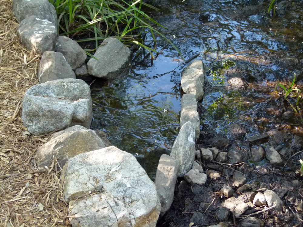
(4) ^ ^ ^ ^ The largest volume of water crossing this area is channeled through this flume in the foreground.
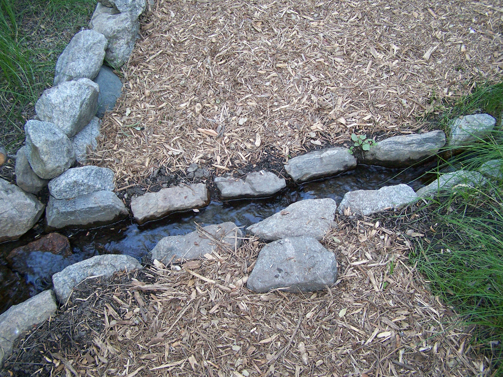
(5) ^ ^ ^ ^ A closer view of the flume channeling the water across the pathway keeping it dry.
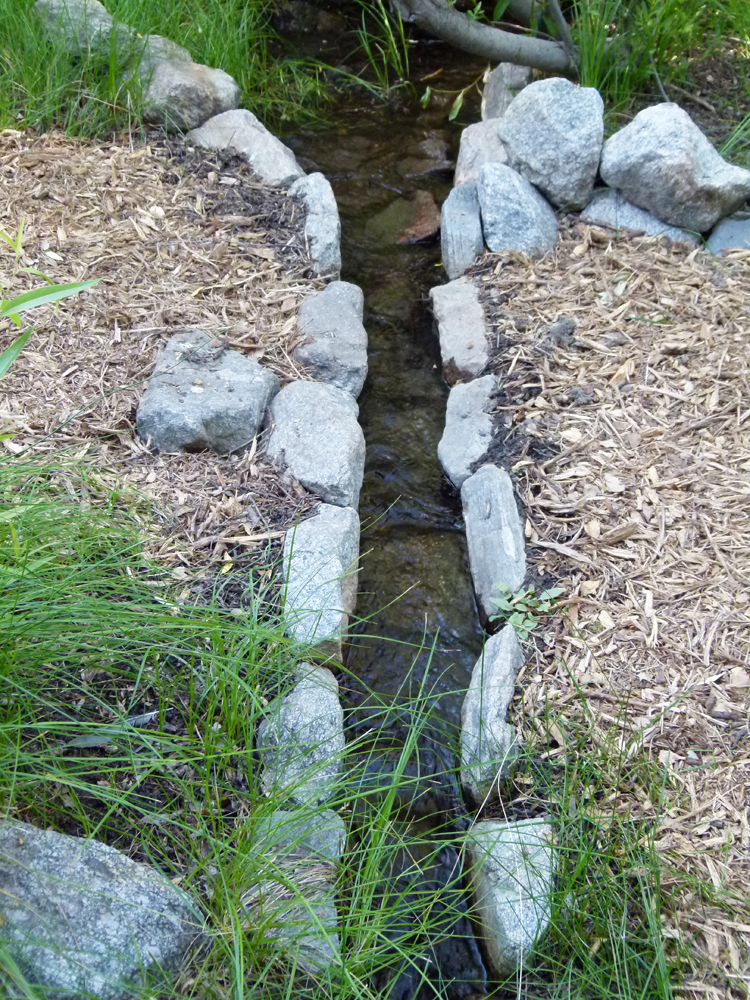
(6) ^ ^ ^ ^ Another angle on the flume. Most of the water that flowed under the Wedding Bridge was diverted through this rock channel. The water stopped flowing under the Wedding Bridge in the first part of August 2011
![]()