SNOWFLAKE PATHWAYS
A HISTORY IN PICTURES
![]()
2013:
(2013 is the 10-year anniversary year)
The first project for 2013 was uprooting and removing much of the seasonal stinging nettles on or beside the main trail crossing the greenbelt. This clearing operation was especially done for our younger trail enthusiasts who have trouble keeping tiny fingers and bare legs and arms away from the unpleasant sting of the dreaded nettle.
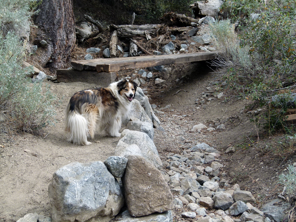
(1) ^ ^ ^ ^ The first major project for this year is this new bridge seen here under construction. Zena explains that the bridge is not yet complete but is at a proof of concept stage where the components are roughly positioned so the design can be perfected and finalized.
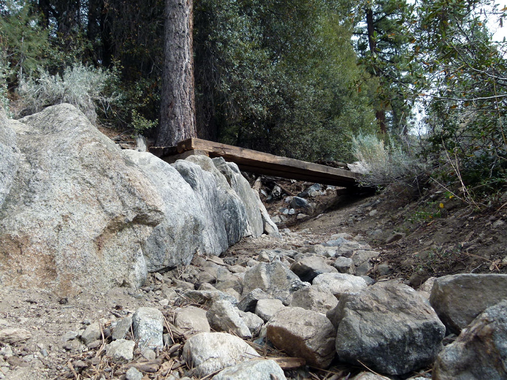
(2) ^ ^ ^ ^ It crosses a gully that flows in wet years when this stream is fed by heavy and/or quickly melting winter snow from the surrounding mountains. It can also flow from flash-flooding during and after heavy thunderstorms as seen in this next photo......
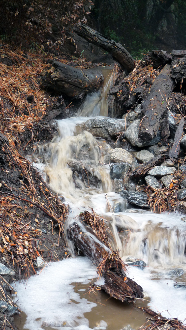
(3) ^ ^ ^ ^ This photo (from 10/2/2010) was taken right at the spot where the bridge is being constructed.
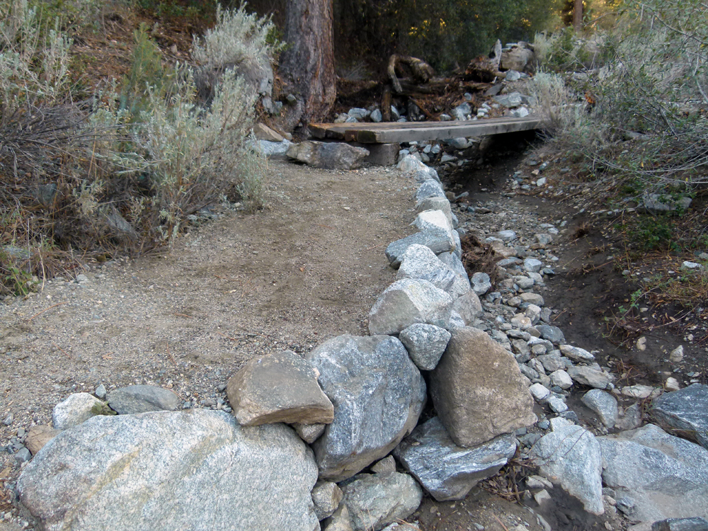
(4) ^ ^ ^ ^ This is the northern pier that incorporates an entry/exit ramp.
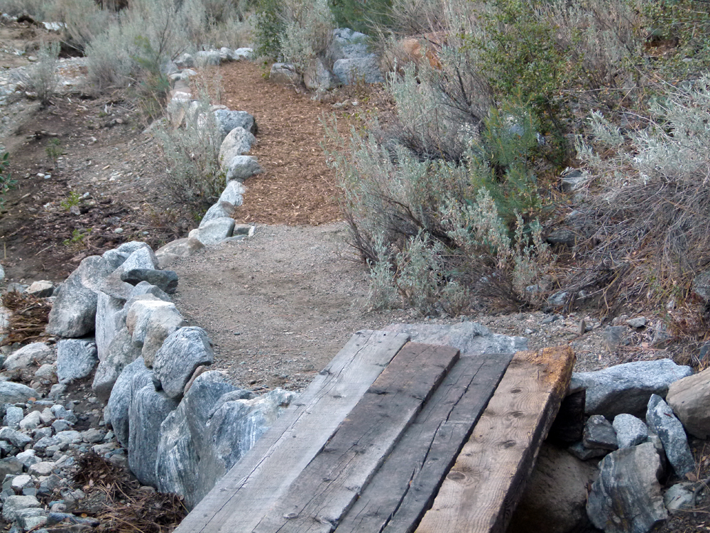
(5) ^ ^ ^ ^ The beams are 8 x 4s and 16-feet long.
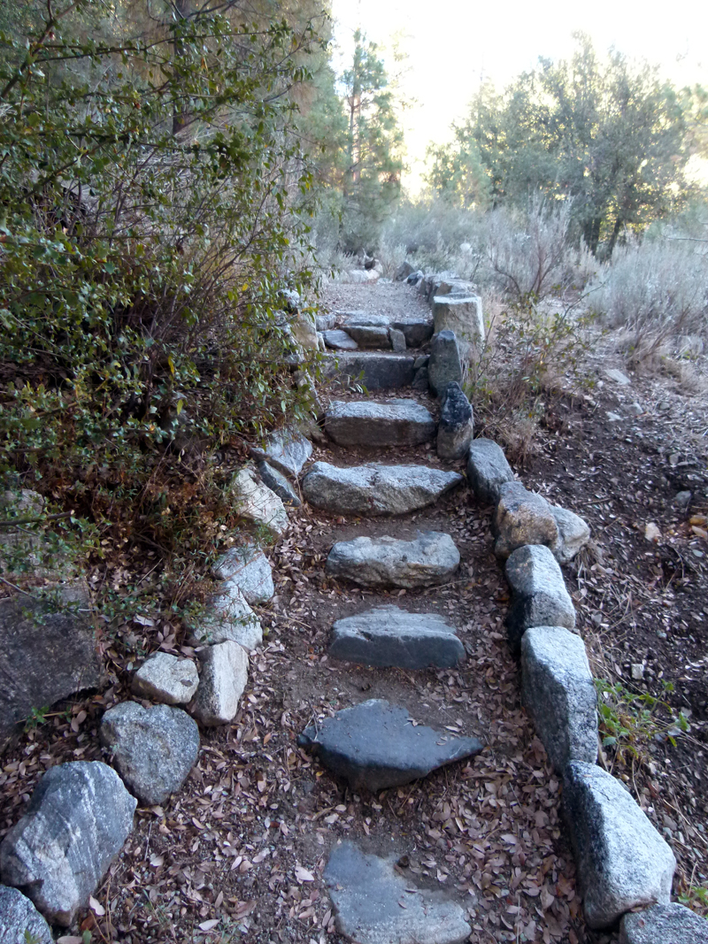
(6) ^ ^ ^ ^ These stairs (built in May 2011) are the start of a newly-constructed pathway leading to the bridge.
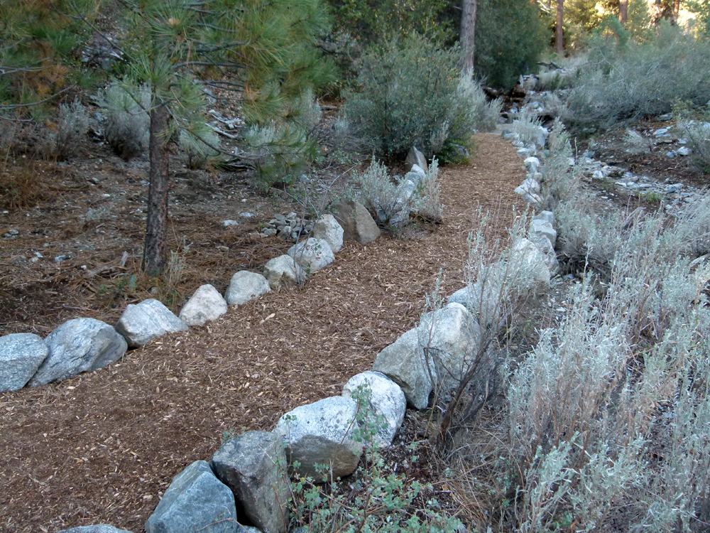
(7) ^ ^ ^ ^ The approach to the bridge spread with a thick layer of wood chips.
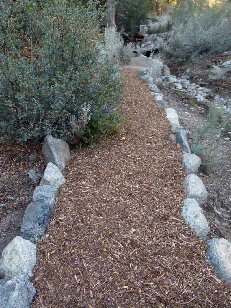
(8) ^ ^ ^ ^ You can just make out the new bridge in the background.
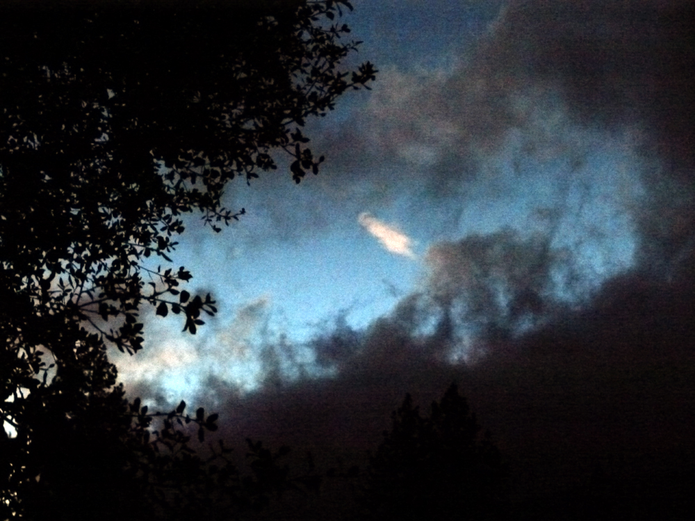
(9) ^ ^ ^ ^ (6/24/2013) An ominous, stormy sky over the San Emigdio Mountains taken right at the end of twilight when it was almost completely dark.
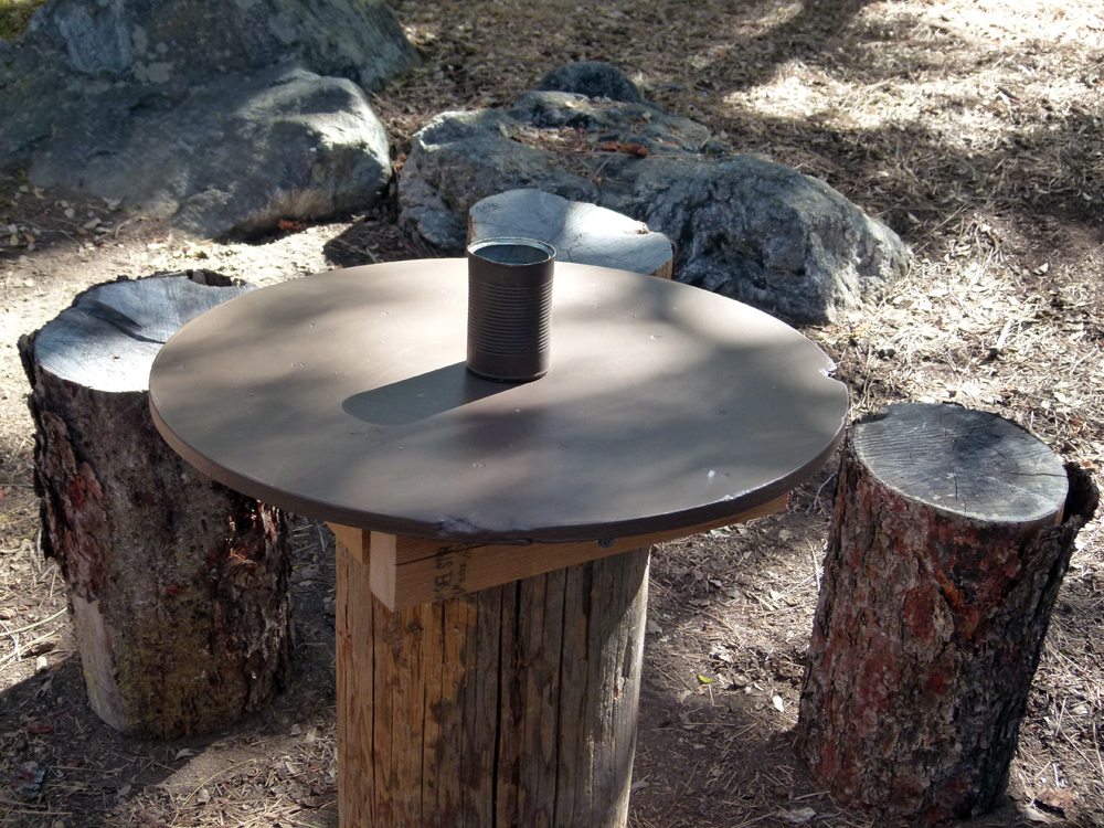
(10) ^ ^ ^ ^ In May, the table top and all the stump stools went missing from the Enchanted Forest area. So I made a new table top as a replacement and gathered new stump stool as shown above.
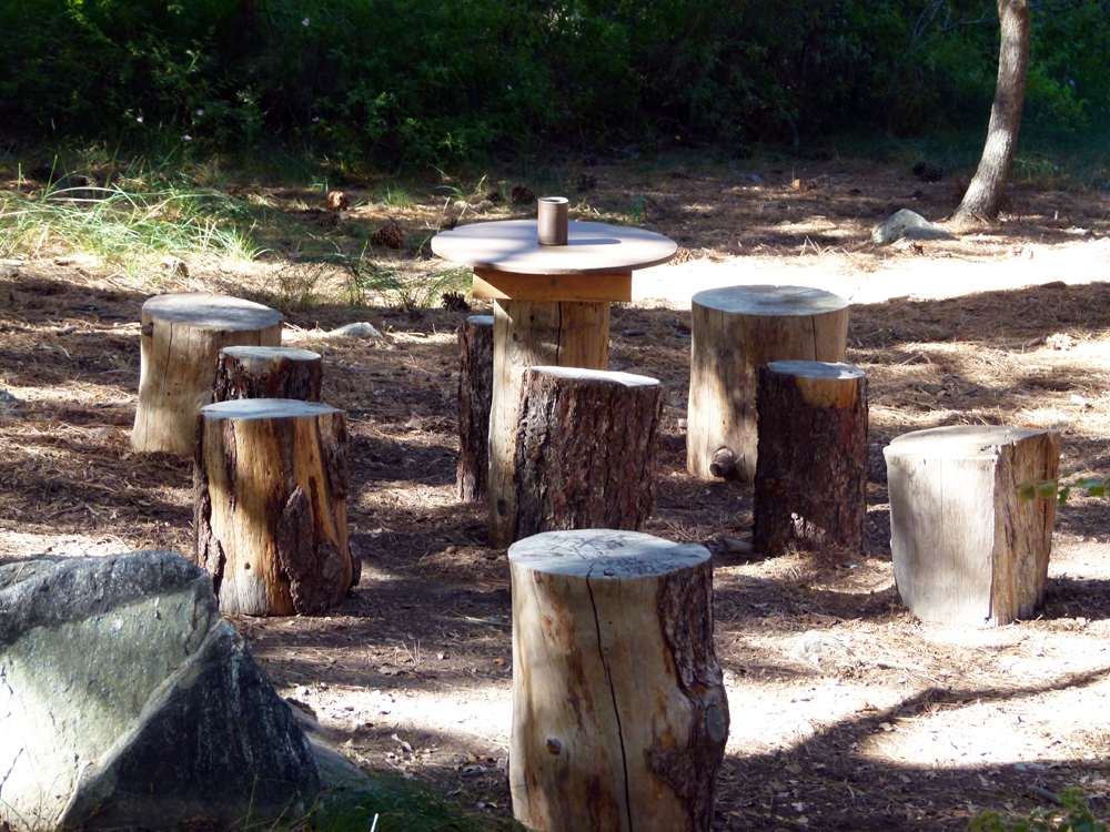
(11) ^ ^ ^ ^ Then I found all the missing stump stools hidden in the bushes surrounding the Enchanted Forest. Why anybody would do this is a complete mystery to me. Go figure?
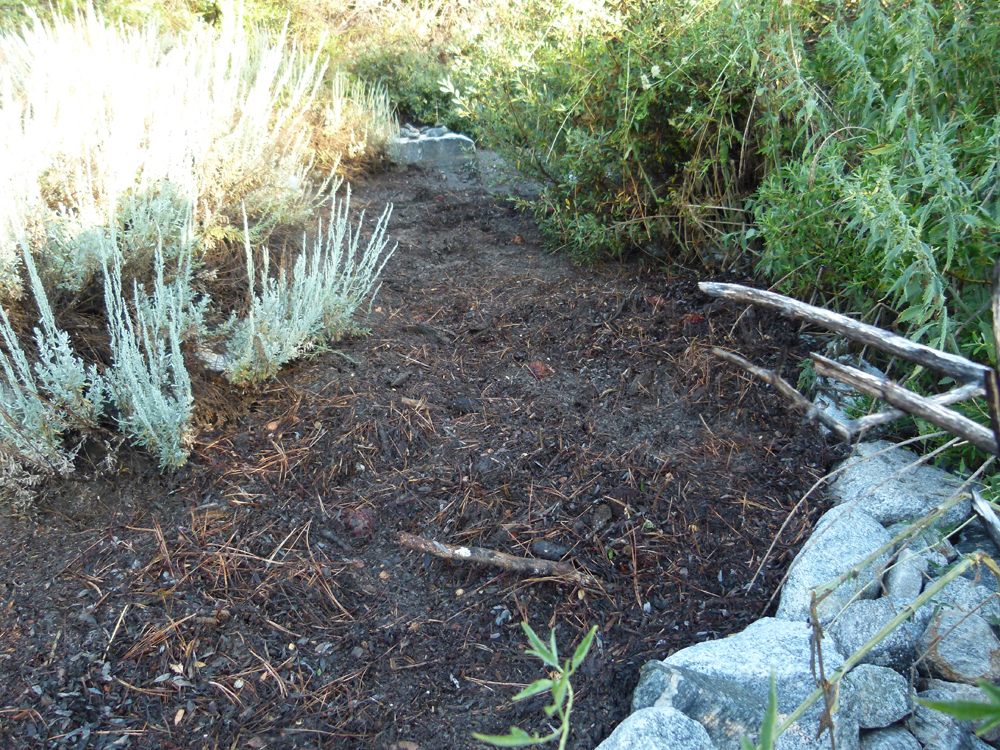
(12) ^ ^ ^ ^ A downpour causing flash flooding on 22 July 2013, completely obliterated this area known as the Zen Garden.
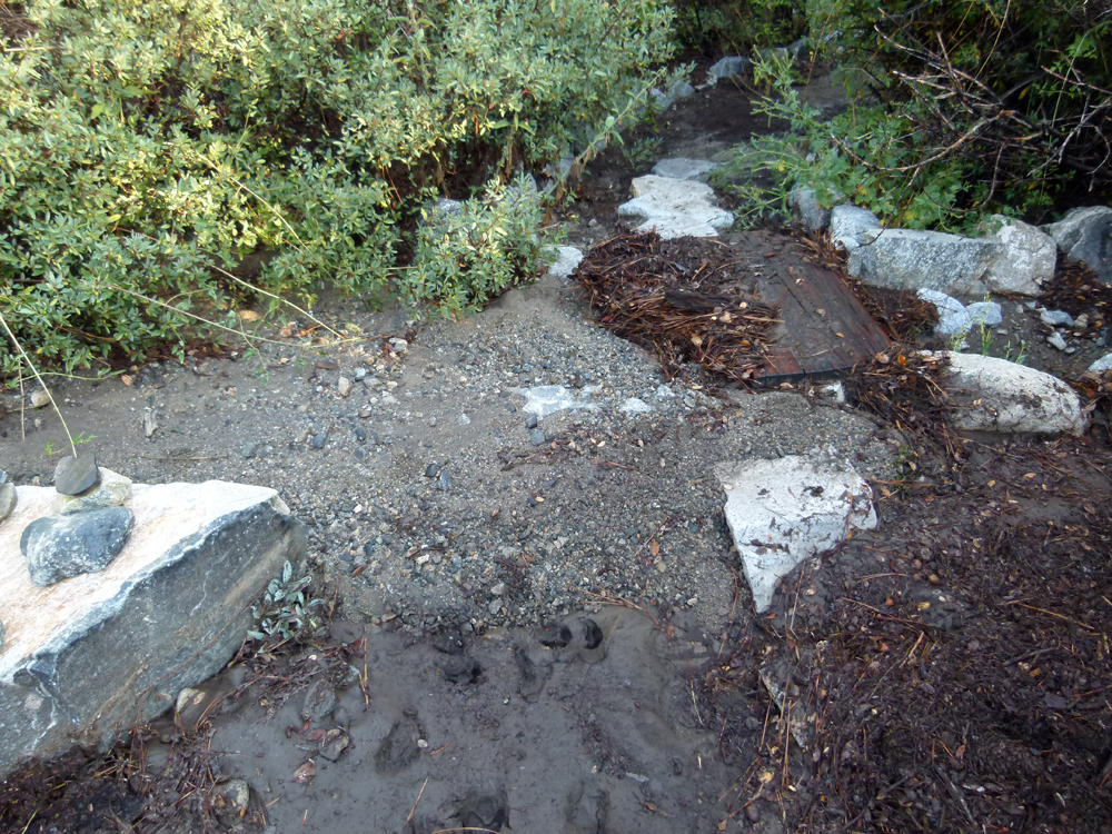
(13) ^ ^ ^ ^ The entire area was buried in gravel, muddy silt, pine needles etc. The first step in repairing the damage was hauling away about 30 wheelbarrow-loads of flood debris.
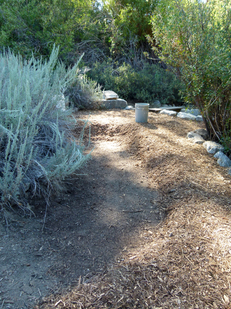
(14) ^ ^ ^ ^ Finishing the repair by laying down new wood chips.
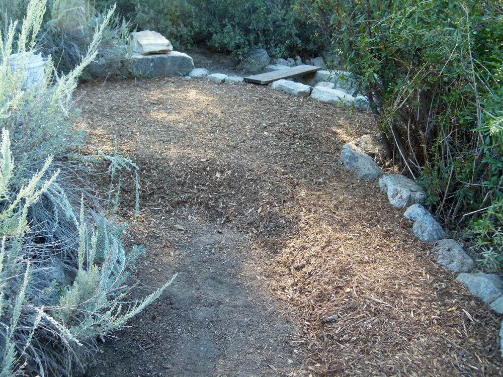
(15) ^ ^ ^ ^ The stream channel you see in the background was doubled in width in an effort to prevent this happening again.
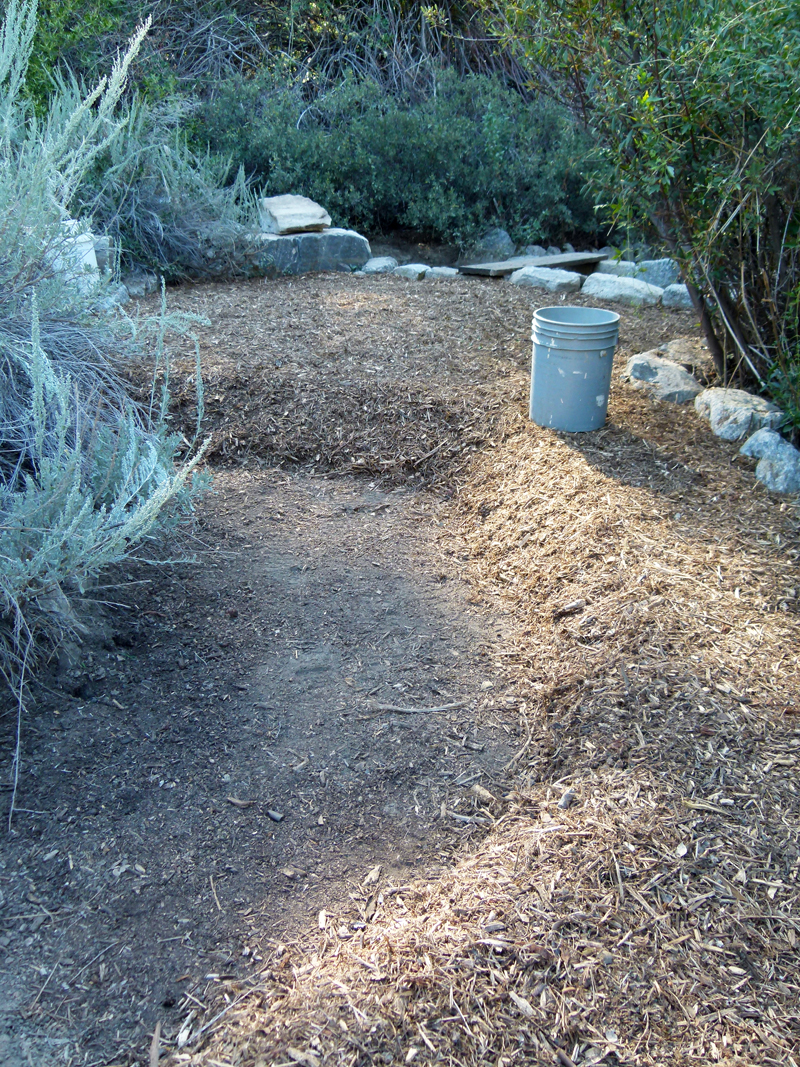
(16) ^ ^ ^ ^ I'm learning this lesson the hard way, as this is the second time this type of flood damage has occurred here.
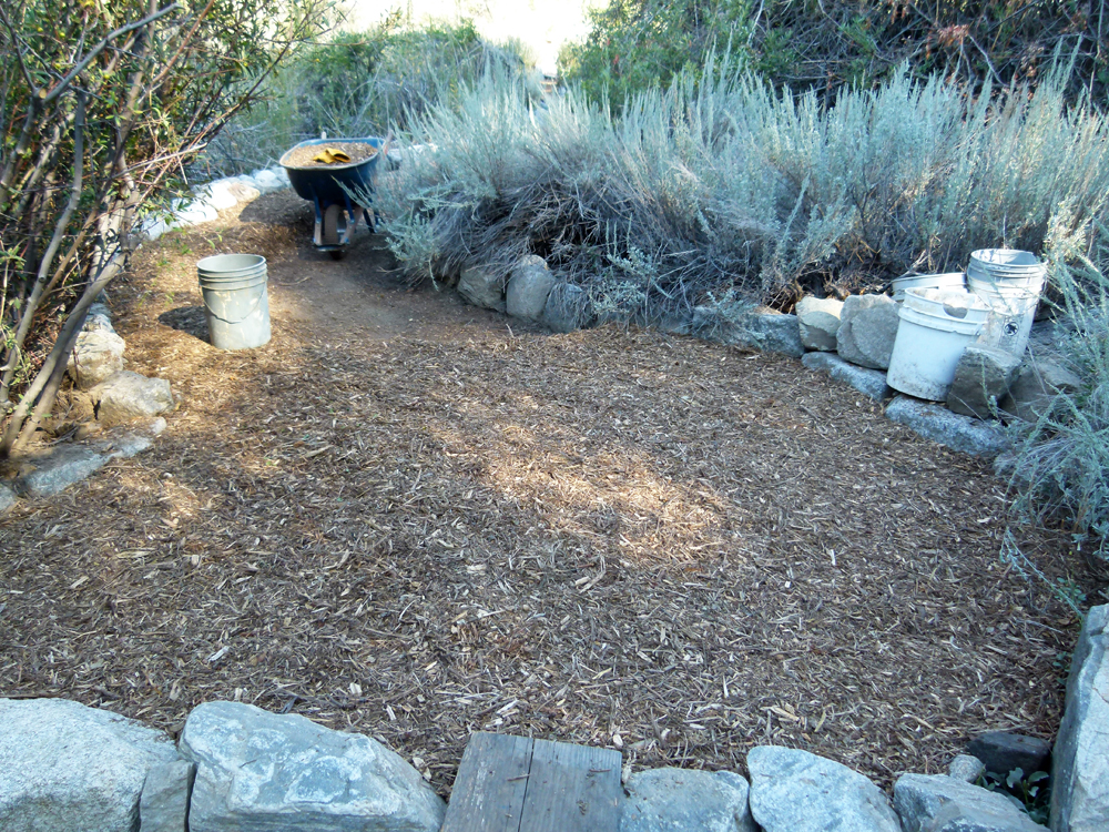
(17) ^ ^ ^ ^ Getting back to the way it was before the flood damage.
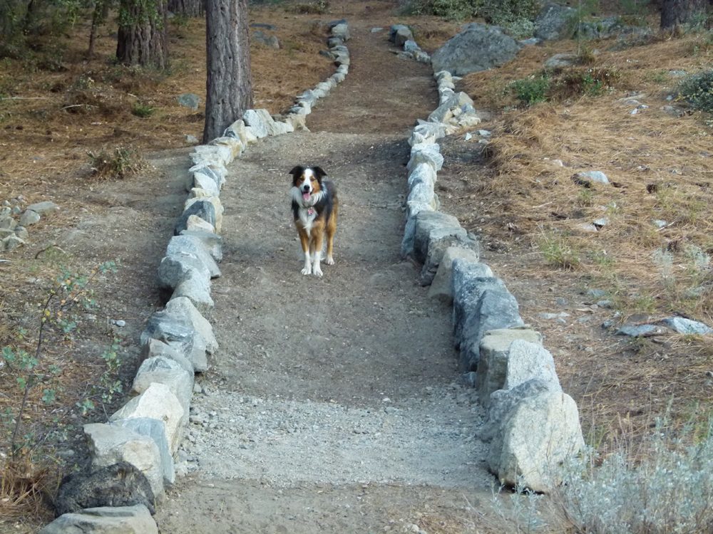
(18) ^ ^ ^ ^ Elvis presents this new pathway for your strolling enjoyment.
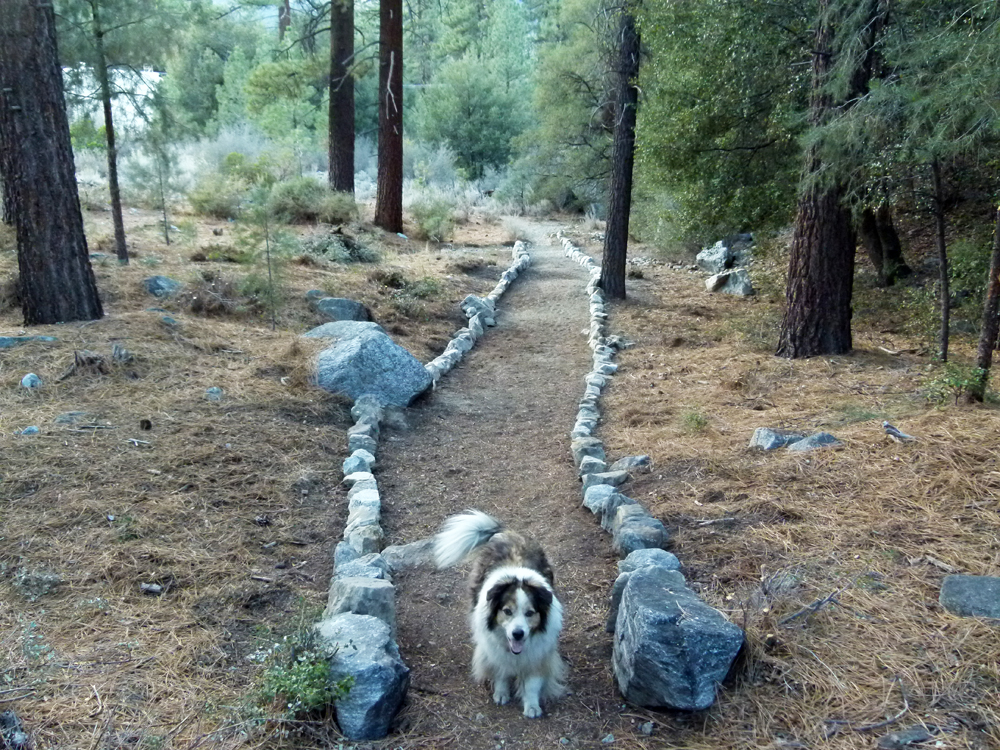
(19) ^ ^ ^ ^ Zena also enjoys this new pathway. This route is our regular daily dog walk which they love doing.
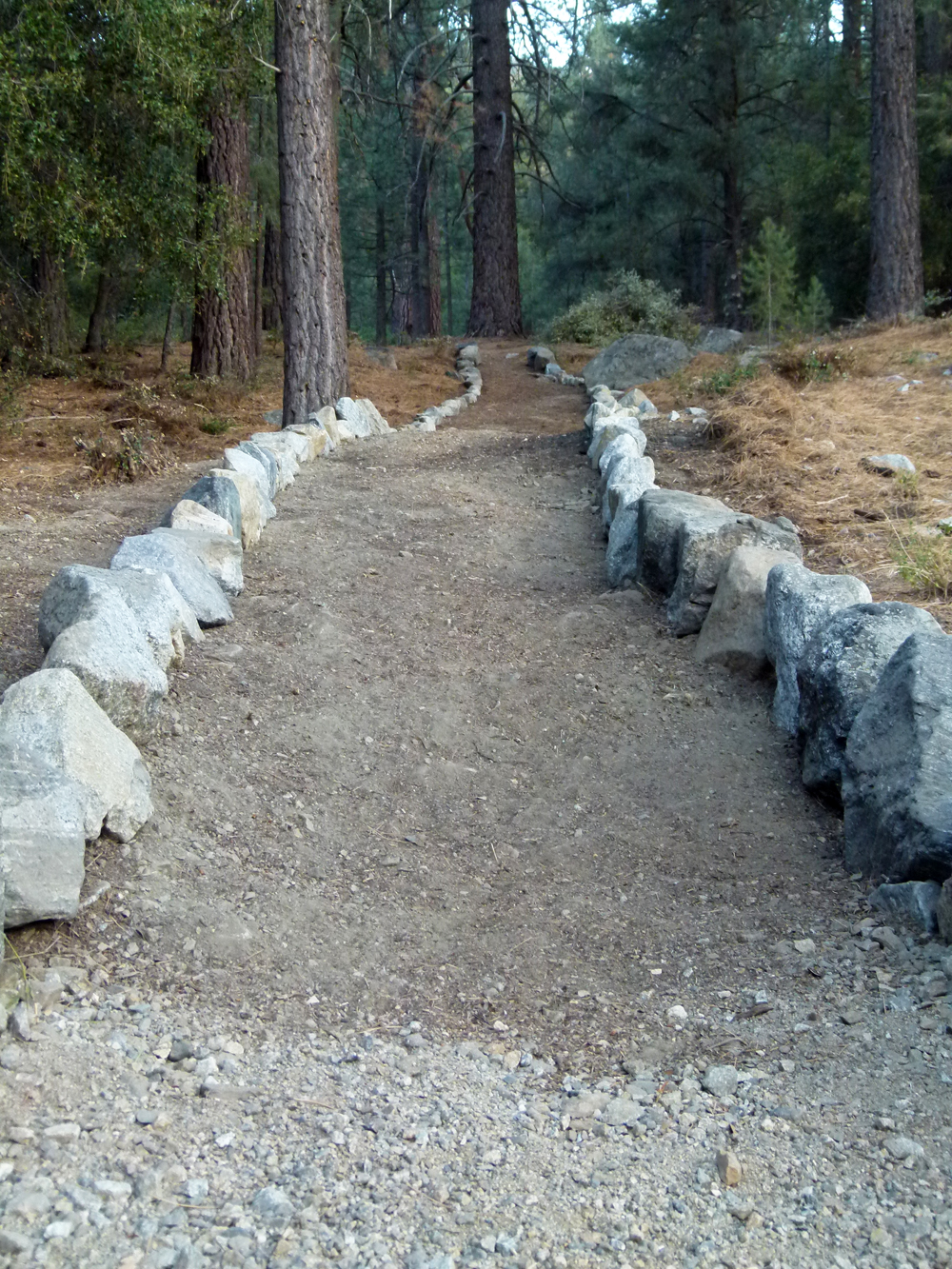
(20) ^ ^ ^ ^ This pathway is an improved version of an earlier pathway built here by J. P. and family. Every time they passed, they added another rock or two until a substantial pathway emerged. So this upgrade is dedicated to them.
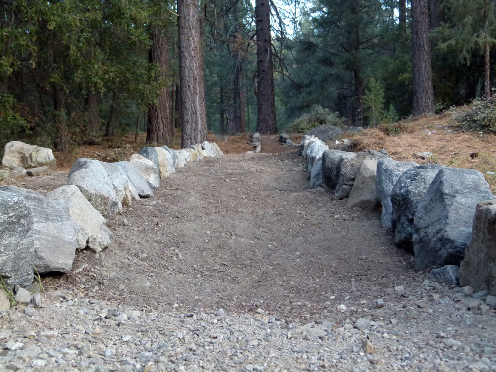
(21) ^ ^ ^ ^ Looking east (uphill) towards a grove of trees featuring a spectacular, double-forked, pine giant.
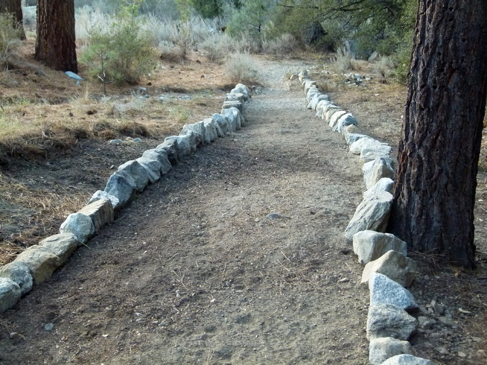
(22) ^ ^ ^ ^ Looking west (downhill) towards the "log walk" and the new bridge built earlier in the year (see photos 1 - 5 at the top of this page).
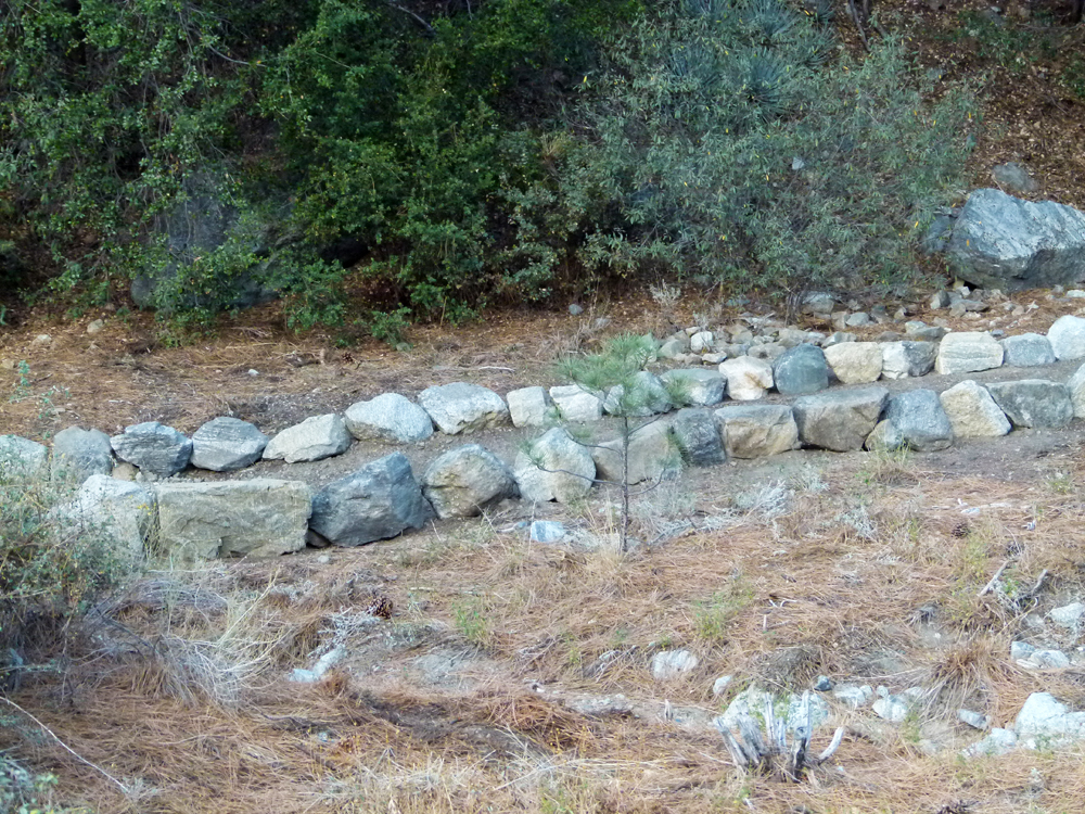
(23) ^ ^ ^ ^ Side view. I hope to finish this pathway with wood chips, if not this year then next year.
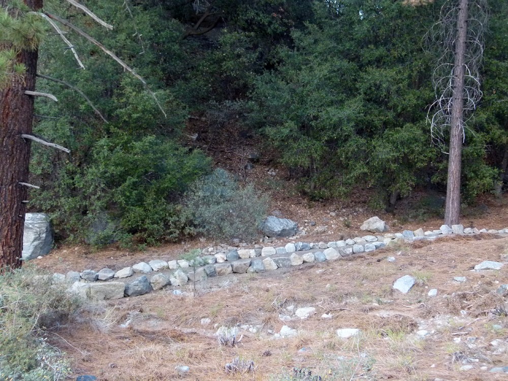
(24) ^ ^ ^ ^ Wider side view.
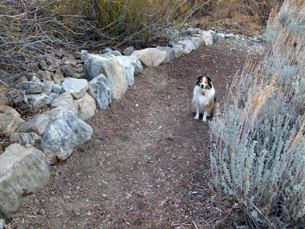
(25) ^ ^ ^ ^ The rock edging for this pathway extension was constructed in December 2012.
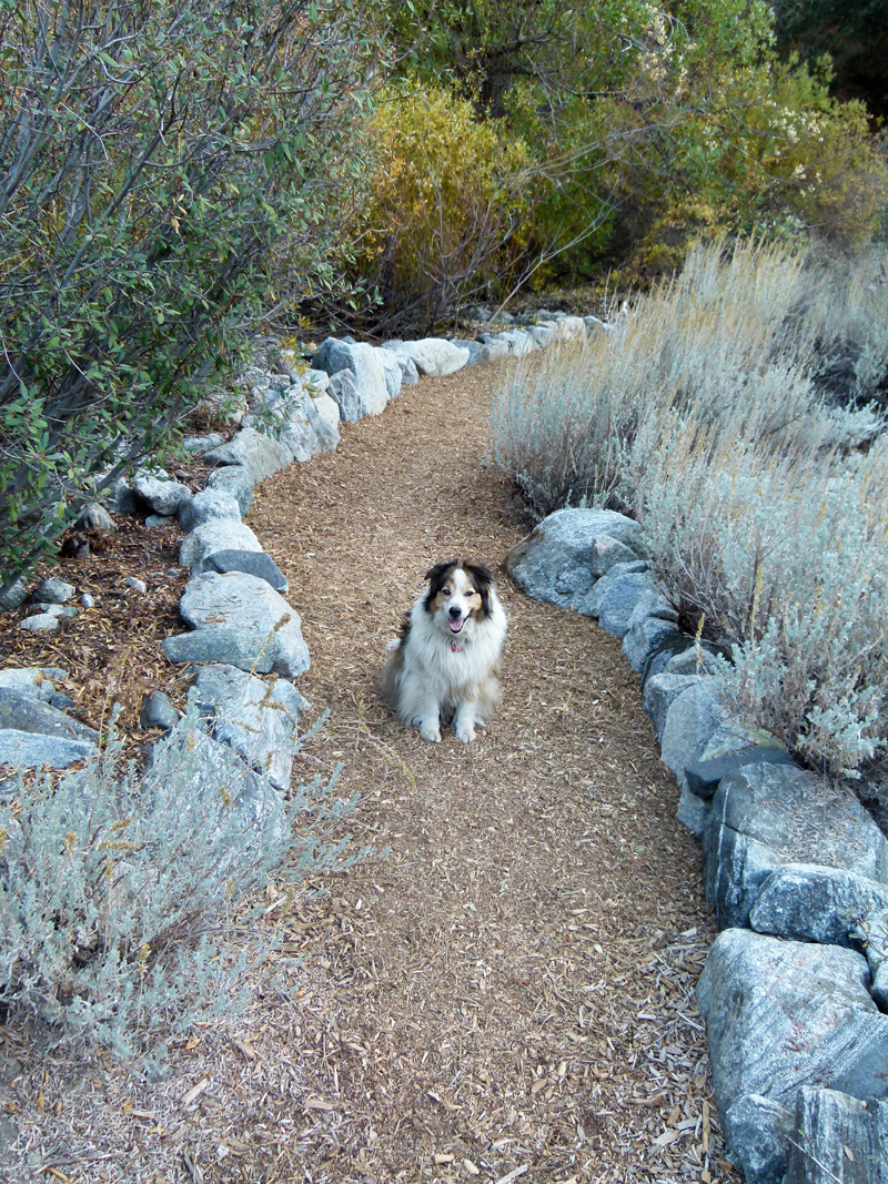
(26) ^ ^ ^ ^ This is the same section of pathway after finishing with wood chips in November 2013.
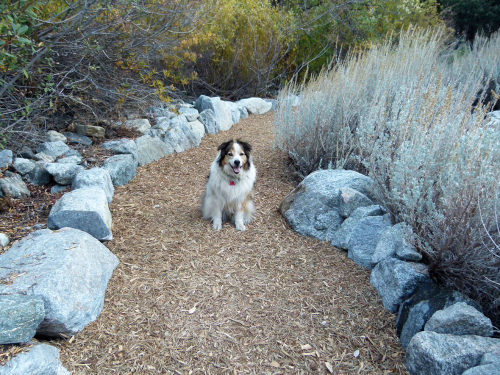
(27) ^ ^ ^ ^ This completes an approximately 60-foot extension to the pathway heading south (up) the green belt towards an area adjacent to water tank #C.
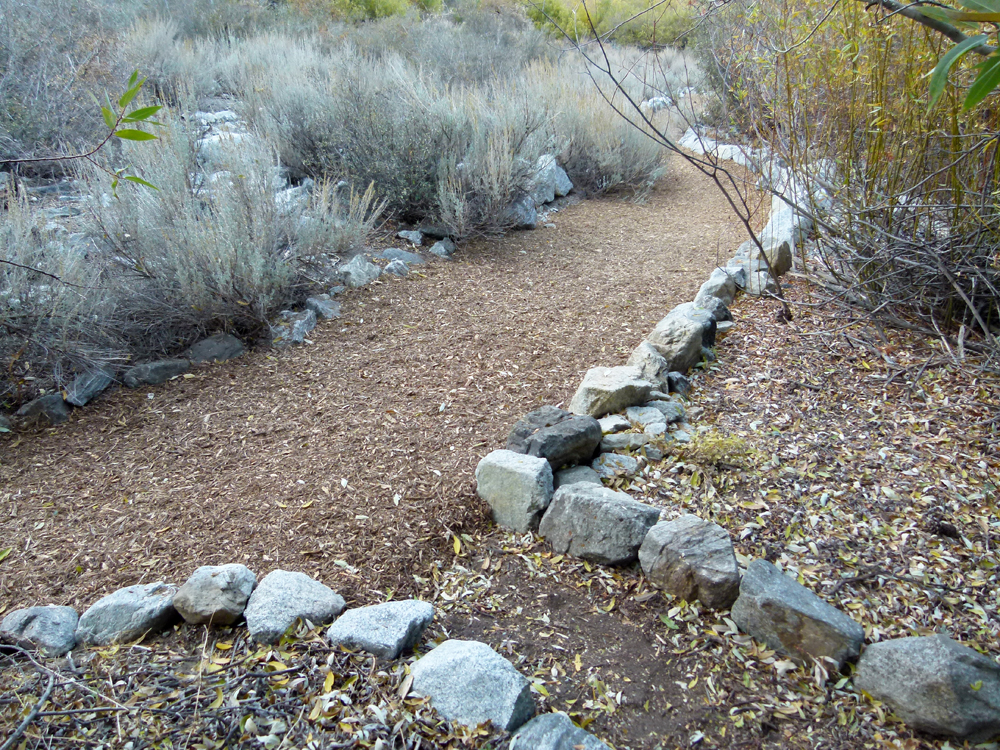
(28) ^ ^ ^ ^ The turn off going to the right leads to Liz Bolden's steps (now Karo's steps). These are private steps and are not for general use since they are on private property.
(29) ^ ^ ^ ^ Video: Requiem for Max (2003 - 2013)
![]()