SNOWFLAKE PATHWAYS
A HISTORY IN PICTURES
![]()
2014
Much of the work in 2014 was centered around clearing, trail maintenance and repair. I'm still dealing with the extensive damage caused by the snowfall we experienced in mid-March 2011 which collapsed hundreds of branches across the greenbelt because the snow was so wet and therefore extremely heavy. For example, this recently cleared area below was buried in a maze of broken branches making it completely impassible since the 2011 snow storm. It is now cleared and returned to normal access.....
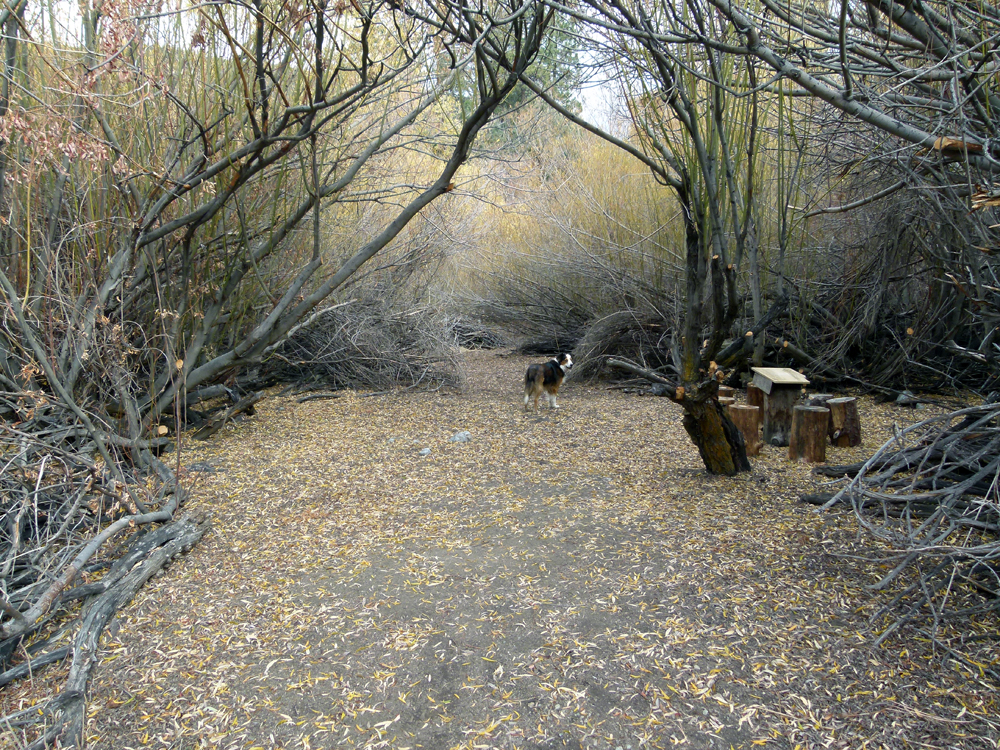
(1) ^ ^ ^ ^ This reclaimed area is between the Wedding Bridge and the Wetlands Trail (and provides a connection between them).
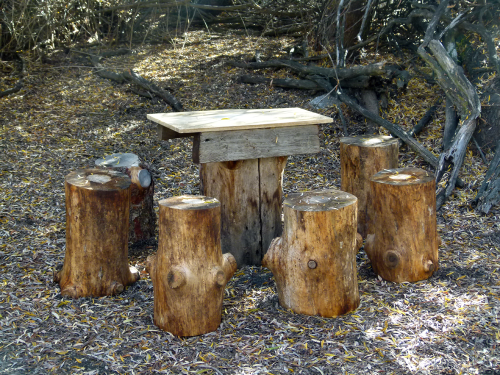
(2) ^ ^ ^ ^ This is one of the original tables, called the Marble Grotto Table, now uncovered and restored with new seating.
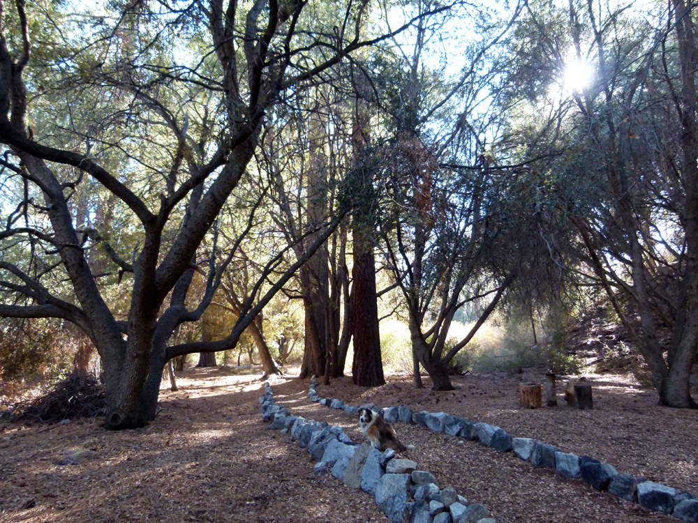
(3) ^ ^ ^ ^ Overhanging the pathway adjacent to the Upper Oak Grove Table was a tangle of broken branches caught high up in the tree canopy (more or less above where the dog is sitting). This was another legacy of the 2011 wet-snow storm. It took considerable effort to clear the entangled branches since the snarl was high up and largely out of reach even with ladders. To make matters worse, the broken branches were not fully detached and could not be pulled down easily. The snarled mass was firmly entwined in the still living branches of adjacent trees. Although the risk of sudden collapse was extremely unlikely, it was better to remove the dead branches in the interest of public safety. I was able to get a rope tied around the lower most branches and by yanking and pulling in many directions managed to coax the dead branches down.
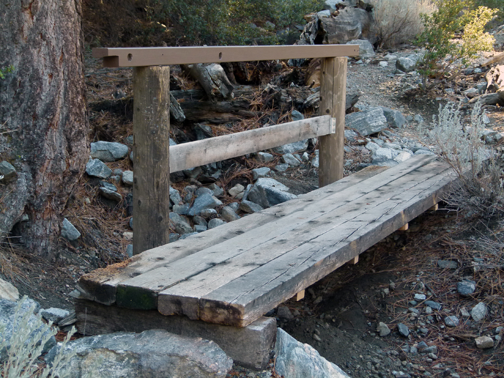
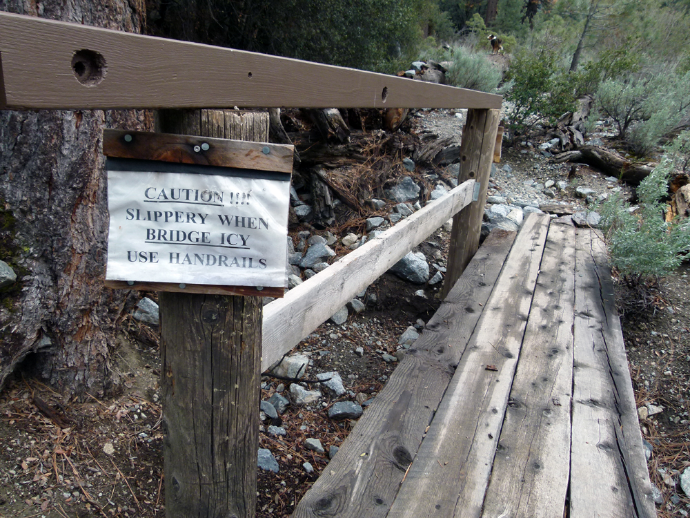
(4) ^ ^ ^ ^ Also in the interests of public safety, a sturdy hand rail was added to this footbridge.
This will make it safer to cross especially if it gets slippery with snow and ice during the winter.
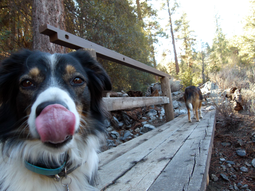
(5) Slurp.
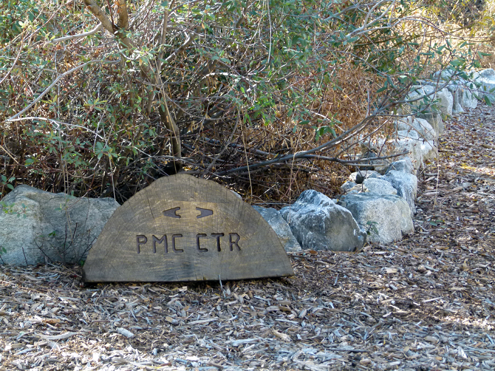
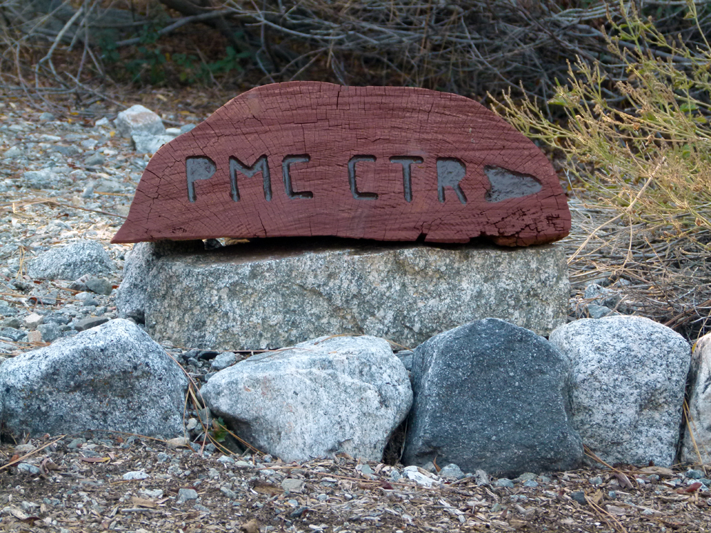
(6) ^ ^ ^ ^ I replaced this sign with something a little more substantial seeing the original sign was being regularly tampered with.
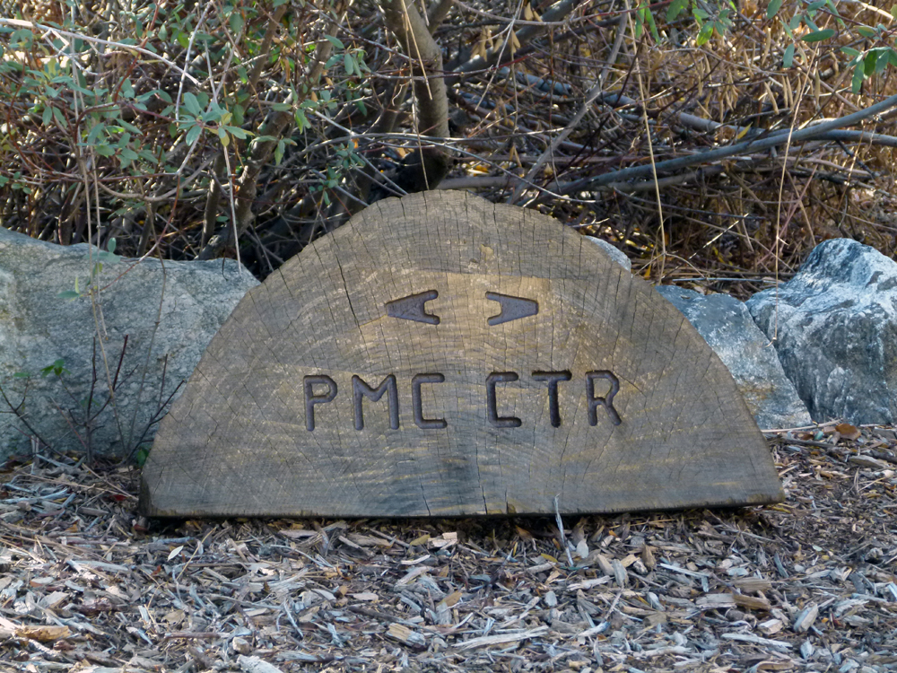
(7) ^ ^ ^ ^ You can take the pathway either to the left or to the right to get to the Pine Mountain Club village center. Both pathways merge together again at the 4 Corners which is roughly in the middle of the green belt. Both routes are about the same distance (one is not shorter than the other). Going left is more sunny, while going to the right is more shady. Left goes via Victory Circle and the Zen Garden, while right goes over the Wedding Bridge. Instinctively, most people go to the right because that path heads in the general direction of the village. Also, that path is wider and perhaps more inviting. I'd encourage trying both ways for interest and variety.
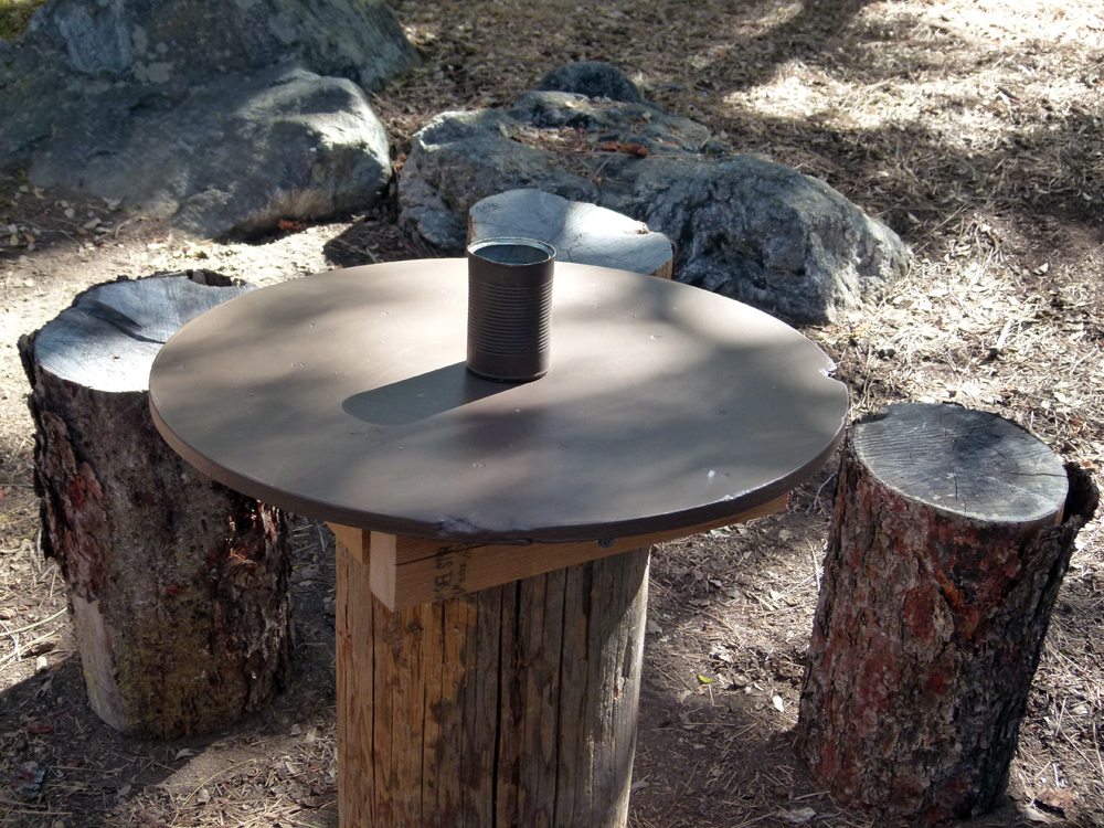
(8) ^ ^ ^ ^ Mysteriously, this table top in the "Enchanted Forest" went missing in May 2013 and I replaced it with a new top a few weeks later (as pictured). It lasted a little over a year before it too was badly damaged and needed replacing once again. This table receives the heaviest traffic and therefore also gets the most abuse from graffitists and vandals.
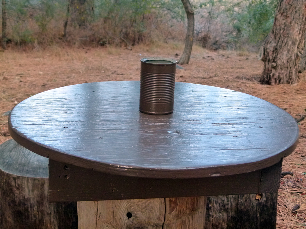
(9) ^ ^ ^ ^ The new table top is stronger and tougher and therefore should have a longer serviceable life span (fingers crossed). There is a debate about whether to deploy these tin-can receptacles (as seen above) on some of the more popular tables in the greenbelt. One person complained to the PMCPOA Environmental Office that the presence of these receptacles encourages teenagers to smoke. If teenagers are so inclined, I think they will smoke cigarettes no matter what anyone says or does. Outside the influence of their families and peer groups, I can't imagine any of us having much effect on teenage smoking behavior. Moreover, there are also adult smokers in the greenbelt and not just teenagers. It is abundantly clear that people smoke cigarettes in the greenbelt as evident from the hundreds of cigarette butts I pick up from the ground every year.
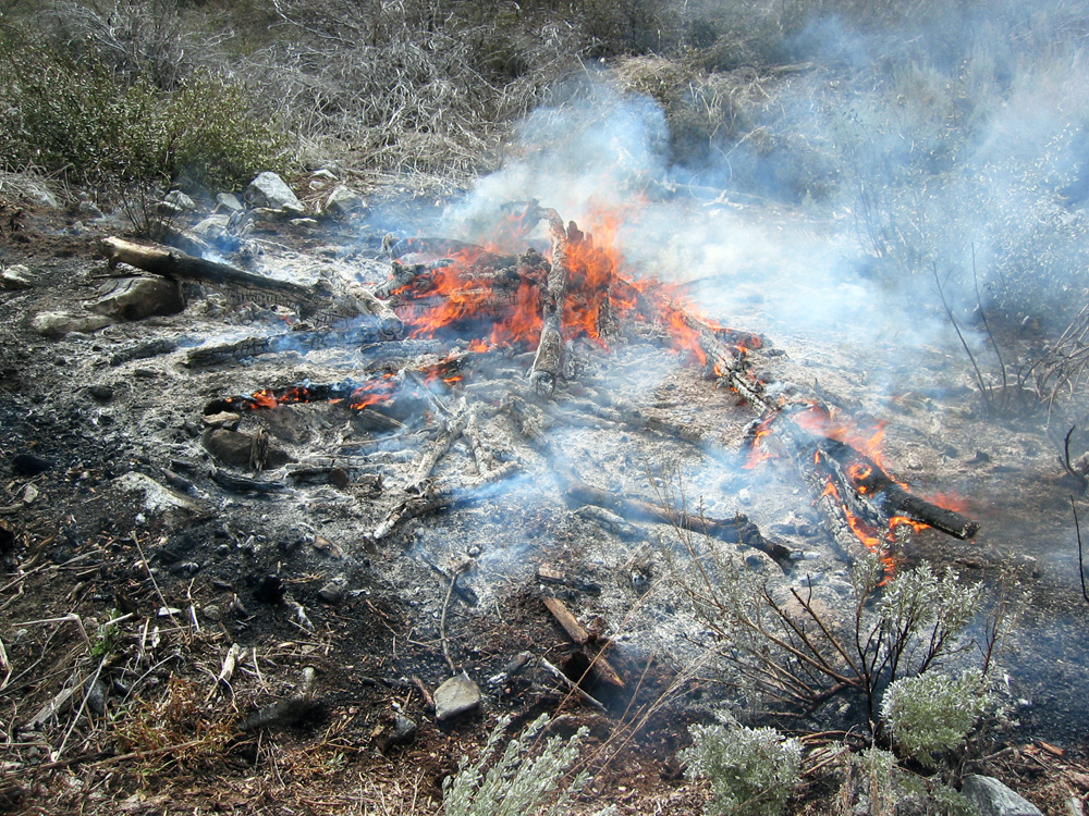
(10) ^ ^ ^ ^ These discarded cigarette butts are often found nestled within a thick carpet of dry organic matter like pine needles and oak leaves. More smoldering cigarette butts are stubbed out in these receptacles if they are provided, and therefore less of them are tossed randomly on the ground. In other words, this is a fire safety measure in an effort to lessen the risk of wild fires starting in the greenbelt which may end up raging out of control. (The photo above is not a wild fire but a controlled burn in the greenbelt in mid-March 2005.)
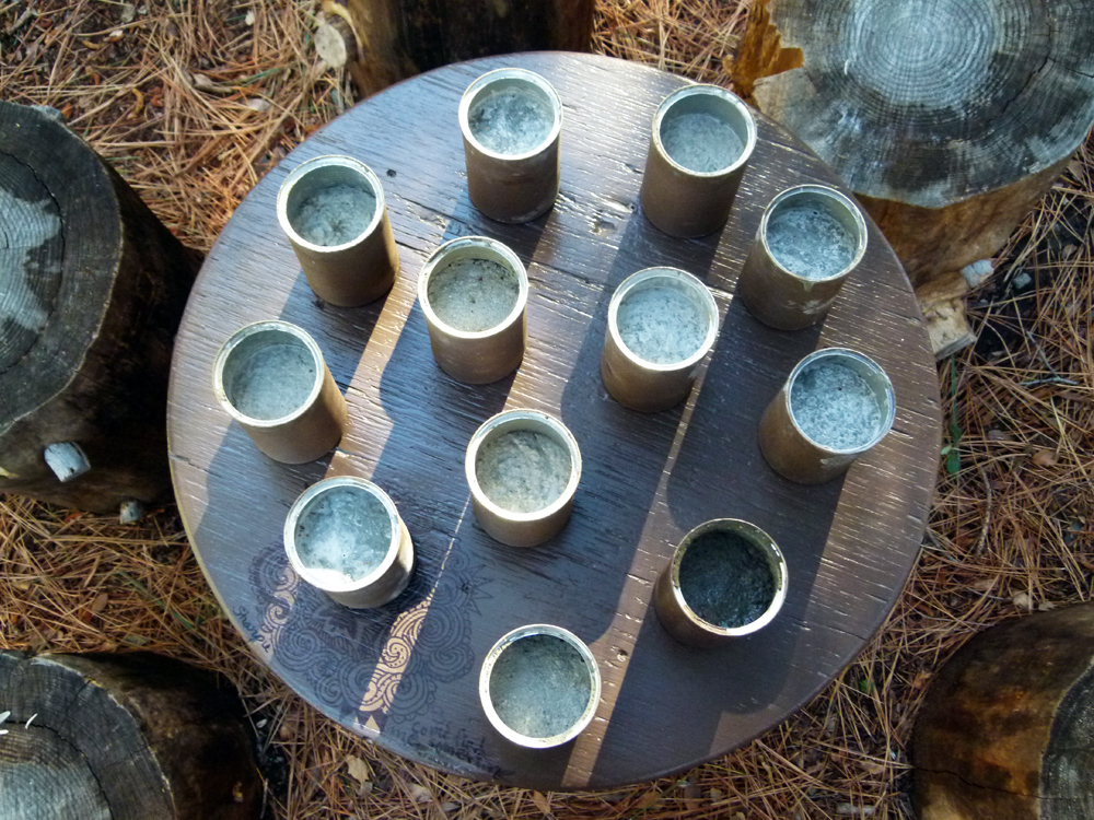
(11) ^ ^ ^ ^ The receptacles are painted brown and are three-quarters filled with concrete to discourage their casual removal.
The average life
of one of these receptacles is about a month before they tend to go missing for no apparent reason. So multiple backups need to be kept on hand as replacements.
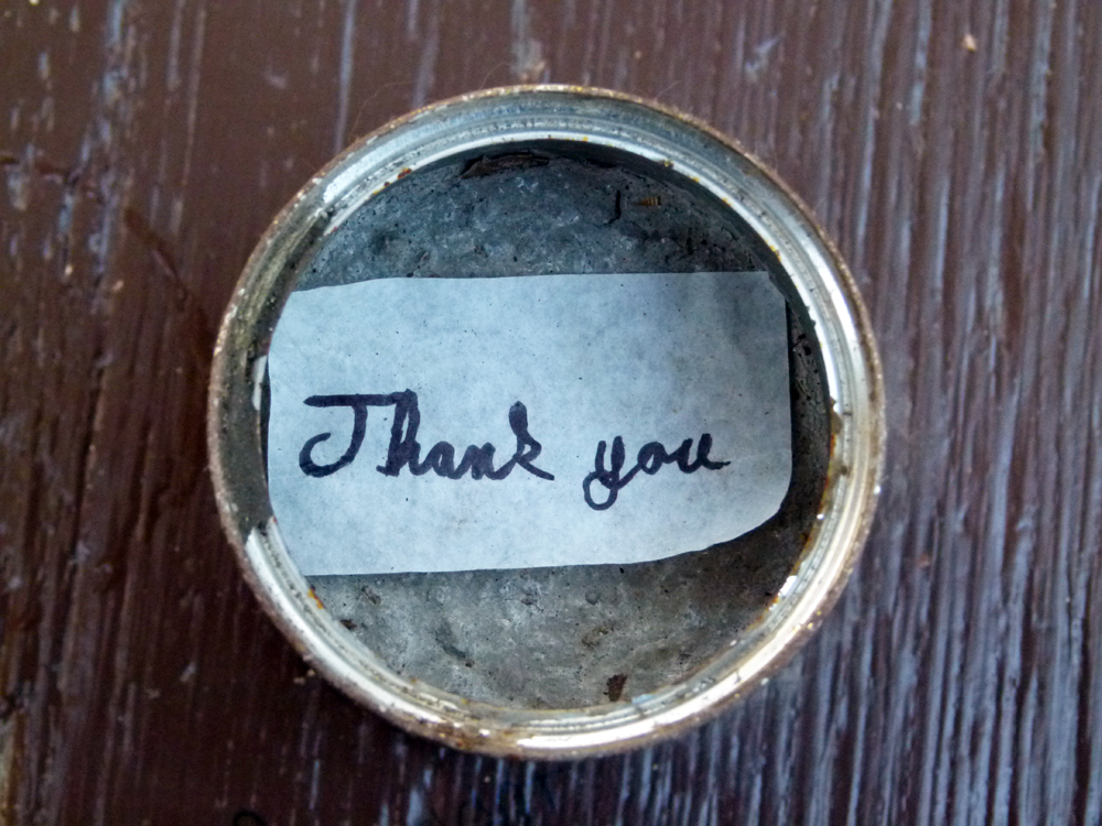
(12) ^ ^ ^ ^ Somebody appears to appreciate the deployment of these receptacles for the safe disposal of smoldering cigarette butts (although this message might have been showing their appreciation for replacing the damaged table top it is sitting on perhaps....or both).
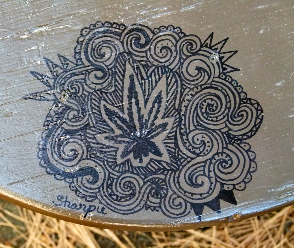
(13) ^ ^ ^ ^ For better or for worse, the newly painted table top was quickly adorned with this hemp-inspired doodling which is perhaps more characteristic of the 1960s and 1970s. At least this is a little more creative than most of the uninspired graffiti that regularly appears.
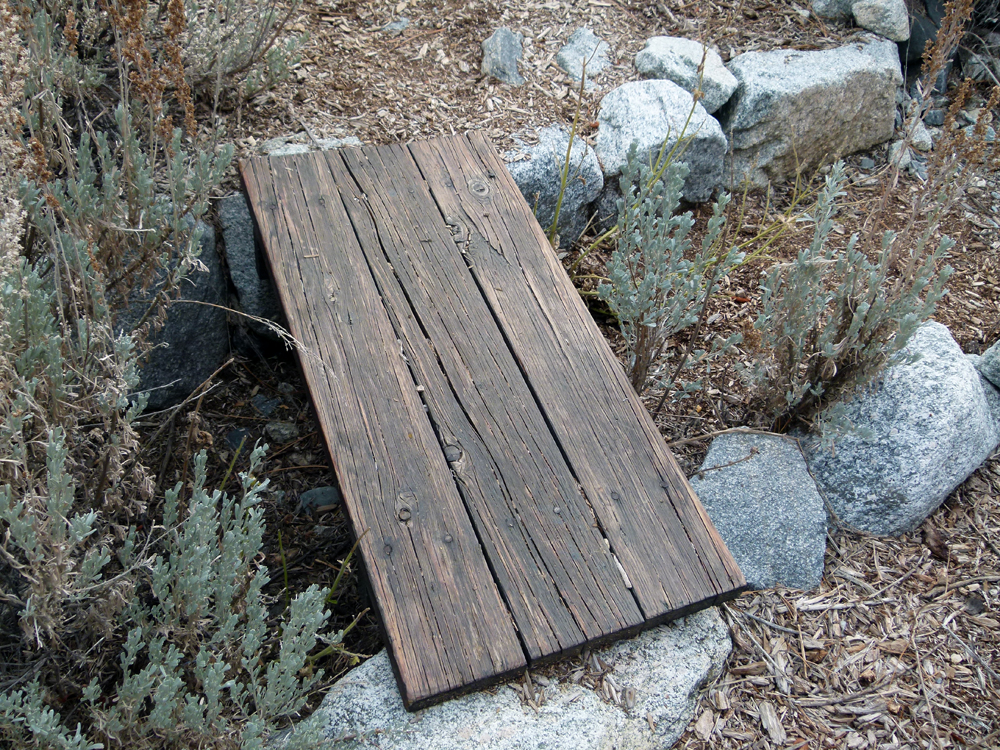
(14) ^ ^ ^ ^ This little foot bridge that crosses a natural storm-water channel has been widened for safer and easier crossing.
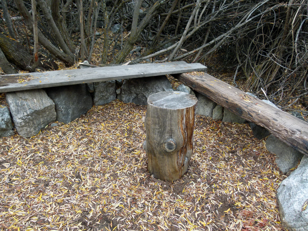
(15) ^ ^ ^ ^ Bench seating and a stump table in a nook next to the Wedding Bridge.
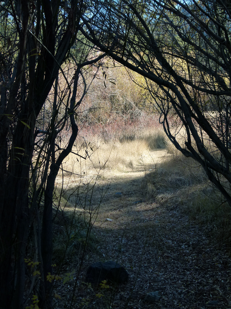
(16) ^ ^ ^ ^ This natural archway leading to the upper wetland area was becoming overgrown and needed clearing. It was also widened a little in the process. The grass pathways seen here need to be mown two or three times a year to keep them neat and well maintained (thanks Deanna). This area features fields of native wild roses (Rosa Californica / California Wild Rose) which bloom every year in late June and early July leaving red rose hips behind for much of the rest of the year.
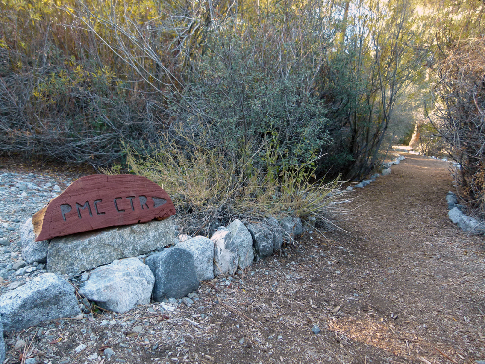
(17) ^ ^ ^ ^ Another new trail sign pointing the way.
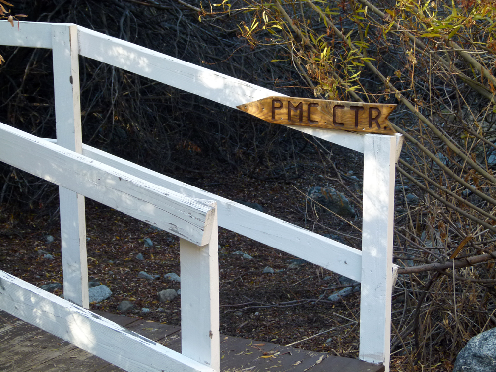
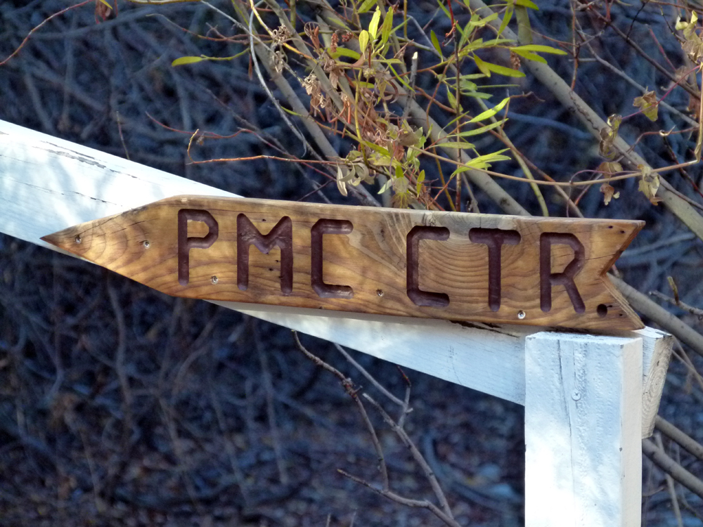
(18) ^ ^ ^ ^ This sign is attached to the Wedding Bridge.
(19) ^ ^ ^ ^ A new trail sign at the 4 Corners (see map for location).
(20) ^ ^ ^ ^ Pointing the way to the Pine Mountain Club village CenTeR
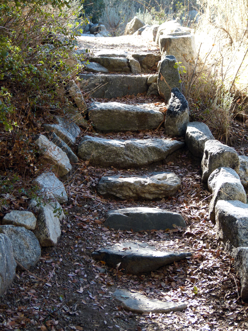
(21) ^ ^ ^ ^ Steps leading to the upper wash (on the other side of the greenbelt opposite water tank #C) that has been in service since May 2011.
(22) ^ ^ ^ ^ The Sunset Table; so named as it is a wonderful vantage point from which to view the play of golden light on the slopes of the surrounding mountains. One can see the last rays setting the tops of the tallest trees ablaze as the sun sinks below Apache Saddle.
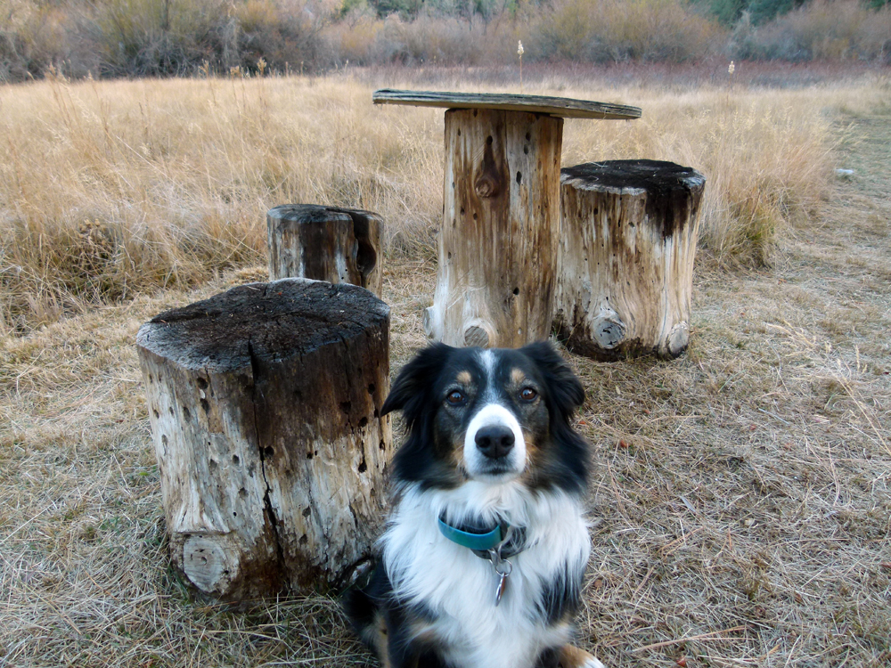
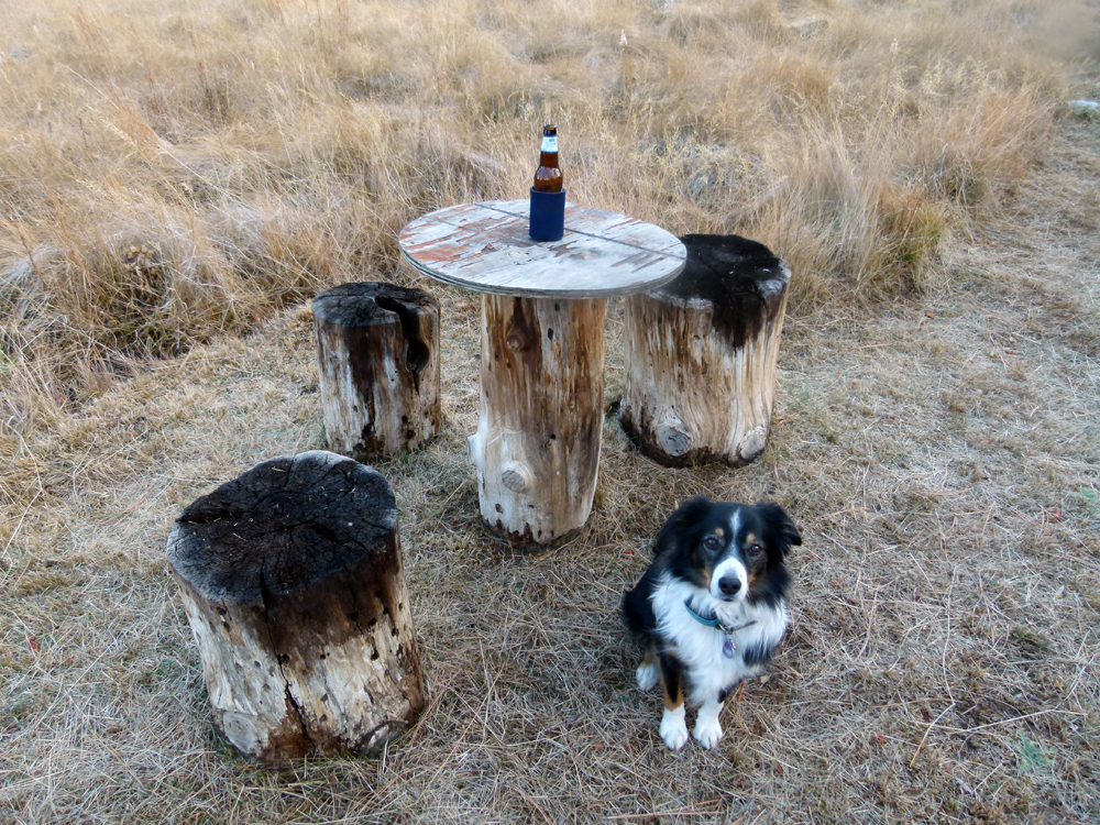
(23) ^ ^ ^ ^ Doggie "Paris" explains that ground water flows just below the surface here for much of the year. Both the post and stools act like wicks drawing up the mineral-laden ground water from beneath the surface. I thought the wet conditions would quickly rot the wood meaning everything would have to be renewed on a regular basis every year or so. However, as the water evaporates it has been leaving behind a mineral deposit in the pores of the wood protecting it from further deterioration. Notice the whitish coloration permeating the wood, which is evidence of this mineralization process. Very much to my surprise, everything appears to be as sound as the day it was first installed over 10 years ago. It is like the first step in the creation of petrified wood, minus the thousands of years of heat and pressure that would eventually turn it into rock.
(24) ^ ^ ^ ^ Preparations for the approaching winter months.
![]()